Area Overview for NG9 1GS
Photos of NG9 1GS
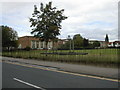
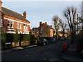
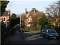
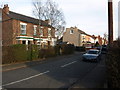
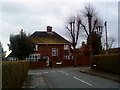
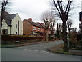
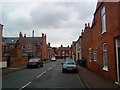
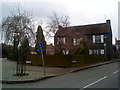
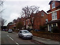
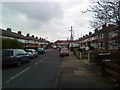
100 photos from this area
Area Information
Key information about the NG9 1GS including its size, population, and administrative classification.
- Area Type
- Postcode
- Area Size
- 5121 m²
- Population
- 1552
- Population Density
- 4954 people/km²
House Prices in NG9 1GS
15
Properties
£133,375
Average Sold Price
£34,000
Lowest Price
£274,600
Highest Price
Showing 15 properties
| Address | Type | Beds | Baths | Last Sale Price | Last Sale Date | |
|---|---|---|---|---|---|---|
| 326 Queens Road West, Chilwell, NG9 1GS | Semi-detached | 3 | 1 | £250,000 | Nov 2023 | |
| 318 Queens Road West, Chilwell, NG9 1GS | Semi-detached | 3 | 1 | £274,600 | Aug 2023 | |
| 324 Queens Road West, Chilwell, NG9 1GS | Semi-detached | 3 | - | £142,500 | Sep 2014 | |
| 342 Queens Road West, Chilwell, NG9 1GS | Terraced | - | - | £99,000 | Jul 2004 | |
| 332 Queens Road West, Chilwell, NG9 1GS | Semi-detached | - | - | £129,950 | Oct 2002 | |
| 344 Queens Road West, Chilwell, NG9 1GS | Terraced | - | - | £72,000 | Jan 2002 | |
| 340 Queens Road West, Chilwell, NG9 1GS | house | 3 | - | £64,950 | Jul 2000 | |
| 346 Queens Road West, Chilwell, NG9 1GS | house | 3 | - | £34,000 | Sep 1995 | |
| 330 Queens Road West, Chilwell, NG9 1GS | Semi-detached | - | - | - | - | |
| 334 Queens Road West, Chilwell, NG9 1GS | Semi-detached | - | - | - | - |
Page 1 of 2
Energy Efficiency in NG9 1GS
Amenities
Schools
| Rank | School | Type | Entry gender | Ages |
|---|
Explore more schools in this area
Go to Schools tabDemographics
Household Size
Two person
most common
Accommodation Type
Houses
most common
Tenure
64
majority
Ethnic Group
White
most common
Religion
N/A
most common
Household Composition
N/A
most common
Age
47
median
Adults (30-64 years)
most common
Household Deprivation
N/A
with no deprivation
NS-SEC
47
in Lower managerial occupations
Explore more demographic insights in this area
Go to Demographics tabPlanning
Planning Constraints
- Flood RiskPremium
- Ramsar Wetland SitesPremium
- Area of Outstanding Natural BeautyPremium
- Protected Nature ReservePremium
- Protected WoodlandPremium