Area Overview for NG8 6LA
Photos of NG8 6LA
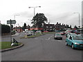
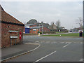
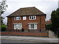
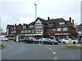
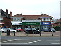
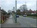
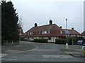
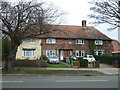
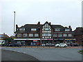
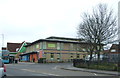
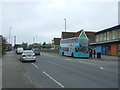
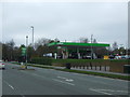
37 photos from this area
Area Information
Key information about the NG8 6LA including its size, population, and administrative classification.
- Area Type
- Postcode
- Area Size
- 1.4 hectares
- Population
- 1557
- Population Density
- 5619 people/km²
House Prices in NG8 6LA
47
Properties
£72,708
Average Sold Price
£23,000
Lowest Price
£180,000
Highest Price
Showing 47 properties
| Address | Type | Beds | Baths | Last Sale Price | Last Sale Date | |
|---|---|---|---|---|---|---|
| 52 Helston Drive, Nottingham, NG8 6LA | house | - | - | £180,000 | Apr 2024 | |
| 51 Helston Drive, Nottingham, NG8 6LA | house | - | - | £100,000 | Nov 2021 | |
| 53 Helston Drive, Nottingham, NG8 6LA | house | - | - | £127,000 | Oct 2019 | |
| 49 Helston Drive, Nottingham, NG8 6LA | Terraced | 3 | 1 | £71,000 | Sep 2015 | |
| 95 Helston Drive, Nottingham, NG8 6LA | house | - | - | £79,000 | Jul 2013 | |
| 109 Helston Drive, Nottingham, NG8 6LA | Semi-detached | 3 | 1 | £71,000 | Sep 2010 | |
| 83 Helston Drive, Nottingham, NG8 6LA | house | - | - | £60,000 | Jul 2004 | |
| 69 Helston Drive, Nottingham, NG8 6LA | house | - | - | £59,000 | Mar 2003 | |
| 55 Helston Drive, Nottingham, NG8 6LA | house | 3 | - | £36,500 | Aug 1999 | |
| 42 Helston Drive, Nottingham, NG8 6LA | house | 3 | - | £33,000 | Apr 1999 |
Page 1 of 5
Energy Efficiency in NG8 6LA
Amenities
Schools
| Rank | School | Type | Entry gender | Ages |
|---|
Explore more schools in this area
Go to Schools tabDemographics
Household Size
One person
most common
Accommodation Type
Houses
most common
Tenure
52
majority
Ethnic Group
White
most common
Religion
N/A
most common
Household Composition
N/A
most common
Age
47
median
Adults (30-64 years)
most common
Household Deprivation
N/A
with no deprivation
NS-SEC
16
in Lower managerial occupations
Explore more demographic insights in this area
Go to Demographics tabPlanning
Planning Constraints
- Flood RiskPremium
- Ramsar Wetland SitesPremium
- Area of Outstanding Natural BeautyPremium
- Protected Nature ReservePremium
- Protected WoodlandPremium