Area Overview for NG8 6GU
Photos of NG8 6GU
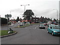
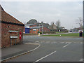
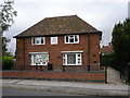
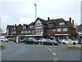
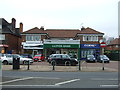
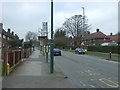
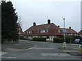
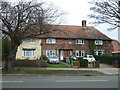
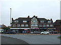
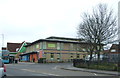
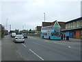
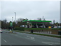
37 photos from this area
Area Information
Key information about the NG8 6GU including its size, population, and administrative classification.
- Area Type
- Postcode
- Area Size
- 9515 m²
- Population
- 1714
- Population Density
- 4655 people/km²
House Prices in NG8 6GU
29
Properties
£106,070
Average Sold Price
£14,000
Lowest Price
£177,000
Highest Price
Showing 29 properties
| Address | Type | Beds | Baths | Last Sale Price | Last Sale Date | |
|---|---|---|---|---|---|---|
| 176 Beckley Road, Nottingham, NG8 6GU | Semi-detached | 4 | 1 | £145,200 | Dec 2022 | |
| 131 Beckley Road, Nottingham, NG8 6GU | house | - | - | £177,000 | Jan 2022 | |
| 162 Beckley Road, Nottingham, NG8 6GU | Terraced | 3 | - | £132,000 | May 2021 | |
| 160 Beckley Road, Nottingham, NG8 6GU | Terraced | 5 | 1 | £150,000 | Jan 2019 | |
| 168 Beckley Road, Nottingham, NG8 6GU | Semi-detached | - | - | £125,000 | Nov 2017 | |
| 164 Beckley Road, Nottingham, NG8 6GU | Terraced | 4 | - | £92,000 | Jan 2017 | |
| 135 Beckley Road, Nottingham, NG8 6GU | Semi-detached | 4 | - | £80,000 | Jun 2014 | |
| 145 Beckley Road, Nottingham, NG8 6GU | house | - | - | £65,500 | Feb 2008 | |
| 150 Beckley Road, Nottingham, NG8 6GU | Terraced | - | - | £80,000 | May 2006 | |
| 154 Beckley Road, Nottingham, NG8 6GU | house | - | - | £14,000 | Apr 2001 |
Page 1 of 3
Energy Efficiency in NG8 6GU
Amenities
Schools
| Rank | School | Type | Entry gender | Ages |
|---|
Explore more schools in this area
Go to Schools tabDemographics
Household Size
Family (3-5 people)
most common
Accommodation Type
Houses
most common
Tenure
30
majority
Ethnic Group
White
most common
Religion
N/A
most common
Household Composition
N/A
most common
Age
22
median
Adults (30-64 years)
most common
Household Deprivation
N/A
with no deprivation
NS-SEC
11
in Lower managerial occupations
Explore more demographic insights in this area
Go to Demographics tabPlanning
Planning Constraints
- Flood RiskPremium
- Ramsar Wetland SitesPremium
- Area of Outstanding Natural BeautyPremium
- Protected Nature ReservePremium
- Protected WoodlandPremium