Area Overview for NG8 5QZ
Photos of NG8 5QZ
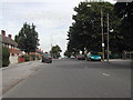
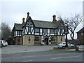
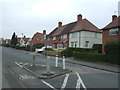
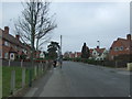
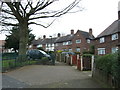
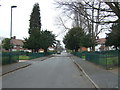
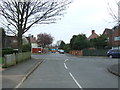
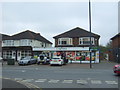
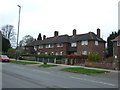
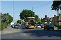
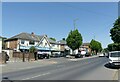
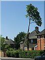
32 photos from this area
Area Information
Key information about the NG8 5QZ including its size, population, and administrative classification.
- Area Type
- Postcode
- Area Size
- 7322 m²
- Population
- 1679
- Population Density
- 8357 people/km²
House Prices in NG8 5QZ
24
Properties
£91,455
Average Sold Price
£59,000
Lowest Price
£166,000
Highest Price
Showing 24 properties
| Address | Type | Beds | Baths | Last Sale Price | Last Sale Date | |
|---|---|---|---|---|---|---|
| 34 Ambleside Road, Nottingham, NG8 5QZ | Terraced | 3 | 2 | £166,000 | Jan 2025 | |
| 23 Ambleside Road, Nottingham, NG8 5QZ | Terraced | 2 | - | £105,000 | Jan 2021 | |
| 31 Ambleside Road, Nottingham, NG8 5QZ | house | - | - | £113,000 | Oct 2020 | |
| 39 Ambleside Road, Nottingham, NG8 5QZ | Semi-detached | 3 | 1 | £121,000 | Aug 2020 | |
| 28 Ambleside Road, Nottingham, NG8 5QZ | Semi-detached | 2 | 1 | £60,000 | Oct 2015 | |
| 40 Ambleside Road, Nottingham, NG8 5QZ | house | - | - | £82,500 | Jun 2015 | |
| 44 Ambleside Road, Nottingham, NG8 5QZ | house | - | - | £76,000 | Mar 2015 | |
| 21 Ambleside Road, Nottingham, NG8 5QZ | house | - | - | £90,000 | Nov 2014 | |
| 17 Ambleside Road, Nottingham, NG8 5QZ | house | 3 | - | £70,500 | Aug 2005 | |
| 36 Ambleside Road, Nottingham, NG8 5QZ | Terraced | - | - | £59,000 | Jul 2004 |
Page 1 of 3
Energy Efficiency in NG8 5QZ
Amenities
Schools
| Rank | School | Type | Entry gender | Ages |
|---|
Explore more schools in this area
Go to Schools tabDemographics
Household Size
Family (3-5 people)
most common
Accommodation Type
Houses
most common
Tenure
48
majority
Ethnic Group
White
most common
Religion
N/A
most common
Household Composition
N/A
most common
Age
47
median
Adults (30-64 years)
most common
Household Deprivation
N/A
with no deprivation
NS-SEC
18
in Lower managerial occupations
Explore more demographic insights in this area
Go to Demographics tabPlanning
Planning Constraints
- Flood RiskPremium
- Ramsar Wetland SitesPremium
- Area of Outstanding Natural BeautyPremium
- Protected Nature ReservePremium
- Protected WoodlandPremium