Area Overview for NG8 5PF
Photos of NG8 5PF
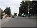
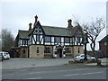
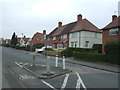
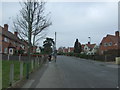
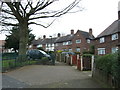
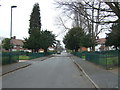
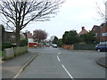
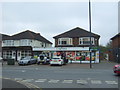
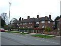
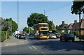
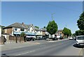
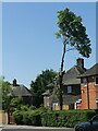
32 photos from this area
Area Information
Key information about the NG8 5PF including its size, population, and administrative classification.
- Area Type
- Postcode
- Area Size
- 1.6 hectares
- Population
- 1727
- Population Density
- 6539 people/km²
House Prices in NG8 5PF
25
Properties
£96,425
Average Sold Price
£18,000
Lowest Price
£177,500
Highest Price
Showing 25 properties
| Address | Type | Beds | Baths | Last Sale Price | Last Sale Date | |
|---|---|---|---|---|---|---|
| 12 Minver Crescent, Nottingham, NG8 5PF | Terraced | 2 | 1 | £150,000 | Feb 2025 | |
| 34 Minver Crescent, Nottingham, NG8 5PF | Terraced | 3 | 1 | £120,000 | Aug 2024 | |
| 30 Minver Crescent, Nottingham, NG8 5PF | Semi-detached | 3 | 1 | £153,000 | Apr 2024 | |
| 50 Minver Crescent, Nottingham, NG8 5PF | Terraced | 3 | 1 | £177,500 | Mar 2024 | |
| 10 Minver Crescent, Nottingham, NG8 5PF | Retail | 2 | 1 | £145,000 | Aug 2022 | |
| 4 Minver Crescent, Nottingham, NG8 5PF | Terraced | 3 | 1 | £137,000 | Mar 2022 | |
| 22 Minver Crescent, Nottingham, NG8 5PF | Terraced | 3 | 1 | £105,000 | Oct 2019 | |
| 36 Minver Crescent, Nottingham, NG8 5PF | Terraced | 3 | - | £68,000 | Feb 2016 | |
| 44 Minver Crescent, Nottingham, NG8 5PF | Semi-detached | 3 | - | £76,500 | Nov 2014 | |
| 38 Minver Crescent, Nottingham, NG8 5PF | house | - | - | £72,000 | Aug 2014 |
Page 1 of 3
Energy Efficiency in NG8 5PF
Amenities
Schools
| Rank | School | Type | Entry gender | Ages |
|---|
Explore more schools in this area
Go to Schools tabDemographics
Household Size
Family (3-5 people)
most common
Accommodation Type
Houses
most common
Tenure
38
majority
Ethnic Group
White
most common
Religion
N/A
most common
Household Composition
N/A
most common
Age
47
median
Adults (30-64 years)
most common
Household Deprivation
N/A
with no deprivation
NS-SEC
13
in Lower managerial occupations
Explore more demographic insights in this area
Go to Demographics tabPlanning
Planning Constraints
- Flood RiskPremium
- Ramsar Wetland SitesPremium
- Area of Outstanding Natural BeautyPremium
- Protected Nature ReservePremium
- Protected WoodlandPremium