Area Overview for NG8 4DS
Photos of NG8 4DS
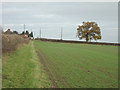
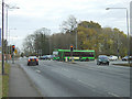
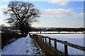
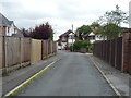
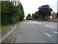
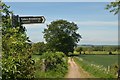
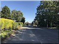
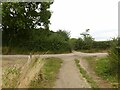
49 photos from this area
Area Information
Key information about the NG8 4DS including its size, population, and administrative classification.
- Area Type
- Postcode
- Area Size
- 13.5 hectares
- Population
- 2287
- Population Density
- 349 people/km²
House Prices in NG8 4DS
16
Properties
£314,571
Average Sold Price
£41,000
Lowest Price
£1,450,000
Highest Price
Showing 16 properties
| Address | Type | Beds | Baths | Last Sale Price | Last Sale Date | |
|---|---|---|---|---|---|---|
| Ashlands, Bilborough Road, Trowell, NG8 4DS | Detached | 5 | 5 | £1,450,000 | Nov 2024 | |
| Glen Marie, Bilborough Road, Nottingham, NG8 4DS | Semi-detached | 2 | 2 | £328,000 | Aug 2024 | |
| 153 Bilborough Road, Nottingham, NG8 4DS | Detached | 4 | 2 | £460,000 | Jul 2023 | |
| Graylands, Bilborough Road, Nottingham, NG8 4DS | house | - | - | £310,000 | Mar 2021 | |
| 147 Bilborough Road, Nottingham, NG8 4DS | Detached | 4 | 4 | £455,000 | Nov 2019 | |
| 169 Bilborough Road, Nottingham, NG8 4DS | Bungalow | 4 | - | £295,000 | Jan 2014 | |
| Poplars, Bilborough Road, Trowell, NG8 4DS | Detached | 3 | 2 | £250,000 | Apr 2004 | |
| Hillocks, Bilborough Road, Trowell, NG8 4DS | Detached | - | - | £260,000 | May 2001 | |
| 157 Bilborough Road, Nottingham, NG8 4DS | house | - | - | £167,500 | Feb 2000 | |
| Arden, Bilborough Road, Nottingham, NG8 4DS | house | - | - | £50,500 | Feb 1999 |
Page 1 of 2
Energy Efficiency in NG8 4DS
Amenities
Schools
| Rank | School | Type | Entry gender | Ages |
|---|
Explore more schools in this area
Go to Schools tabDemographics
Household Size
Two person
most common
Accommodation Type
Houses
most common
Tenure
89
majority
Ethnic Group
White
most common
Religion
N/A
most common
Household Composition
N/A
most common
Age
47
median
Adults (30-64 years)
most common
Household Deprivation
N/A
with no deprivation
NS-SEC
35
in Lower managerial occupations
Explore more demographic insights in this area
Go to Demographics tabPlanning
Planning Constraints
- Flood RiskPremium
- Ramsar Wetland SitesPremium
- Area of Outstanding Natural BeautyPremium
- Protected Nature ReservePremium
- Protected WoodlandPremium