Area Overview for NG8 3PA
Photos of NG8 3PA

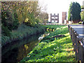
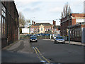
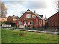
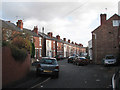
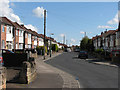
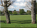
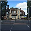
77 photos from this area
Area Information
Key information about the NG8 3PA including its size, population, and administrative classification.
- Area Type
- Postcode
- Area Size
- 8.2 hectares
- Population
- 2170
- Population Density
- 2732 people/km²
House Prices in NG8 3PA
52
Properties
£138,027
Average Sold Price
£44,000
Lowest Price
£300,000
Highest Price
Showing 52 properties
| Address | Type | Beds | Baths | Last Sale Price | Last Sale Date | |
|---|---|---|---|---|---|---|
| 95 Grassington Road, Nottingham, NG8 3PA | Detached | 3 | 1 | £275,000 | Jun 2024 | |
| 99 Grassington Road, Nottingham, NG8 3PA | Detached | 3 | 1 | £250,000 | May 2024 | |
| 93 Grassington Road, Nottingham, NG8 3PA | Detached | 3 | 1 | £216,500 | Feb 2022 | |
| 47 Grassington Road, Nottingham, NG8 3PA | house | - | - | £195,000 | Jan 2022 | |
| 31 Grassington Road, Nottingham, NG8 3PA | Detached | 3 | 1 | £235,000 | Sep 2021 | |
| 94 Grassington Road, Nottingham, NG8 3PA | house | - | - | £300,000 | Nov 2020 | |
| 69 Grassington Road, Nottingham, NG8 3PA | Detached | 3 | 1 | £150,000 | Aug 2018 | |
| 59 Grassington Road, Nottingham, NG8 3PA | Detached | 3 | - | £150,000 | May 2018 | |
| 21 Grassington Road, Nottingham, NG8 3PA | Detached | 3 | 2 | £160,000 | Aug 2017 | |
| 65 Grassington Road, Nottingham, NG8 3PA | Detached | 3 | - | £168,500 | Jun 2017 |
Page 1 of 6
Energy Efficiency in NG8 3PA
Amenities
Schools
| Rank | School | Type | Entry gender | Ages |
|---|
Explore more schools in this area
Go to Schools tabDemographics
Household Size
Family (3-5 people)
most common
Accommodation Type
Houses
most common
Tenure
79
majority
Ethnic Group
asian_total
most common
Religion
N/A
most common
Household Composition
N/A
most common
Age
47
median
Adults (30-64 years)
most common
Household Deprivation
N/A
with no deprivation
NS-SEC
29
in Lower managerial occupations
Explore more demographic insights in this area
Go to Demographics tabPlanning
Planning Constraints
- Flood RiskPremium
- Ramsar Wetland SitesPremium
- Area of Outstanding Natural BeautyPremium
- Protected Nature ReservePremium
- Protected WoodlandPremium