Area Overview for NG8 2EN
Photos of NG8 2EN
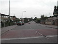
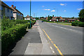
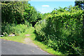
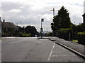
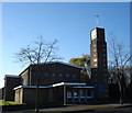
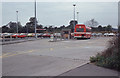
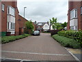
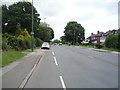
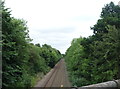
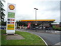
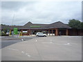
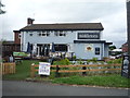
37 photos from this area
Area Information
Key information about the NG8 2EN including its size, population, and administrative classification.
- Area Type
- Postcode
- Area Size
- 3.3 hectares
- Population
- 1508
- Population Density
- 3851 people/km²
House Prices in NG8 2EN
48
Properties
£220,968
Average Sold Price
£59,000
Lowest Price
£630,000
Highest Price
Showing 48 properties
| Address | Type | Beds | Baths | Last Sale Price | Last Sale Date | |
|---|---|---|---|---|---|---|
| 193 Trowell Road, Nottingham, NG8 2EN | Bungalow | 2 | 1 | £255,000 | Nov 2024 | |
| 205 Trowell Road, Nottingham, NG8 2EN | Bungalow | 3 | 2 | £311,000 | May 2024 | |
| 199 Trowell Road, Nottingham, NG8 2EN | Detached | 3 | 1 | £300,000 | Jul 2023 | |
| 149 Trowell Road, Nottingham, NG8 2EN | Detached | 5 | 4 | £630,000 | Dec 2022 | |
| 179 Trowell Road, Nottingham, NG8 2EN | house | 3 | 1 | £286,000 | Feb 2022 | |
| 201 Trowell Road, Nottingham, NG8 2EN | Detached | 4 | 1 | £280,000 | Aug 2021 | |
| 111 Trowell Road, Nottingham, NG8 2EN | house | - | - | £400,000 | Oct 2020 | |
| 183 Trowell Road, Nottingham, NG8 2EN | Detached | 3 | 1 | £295,000 | May 2020 | |
| 187 Trowell Road, Nottingham, NG8 2EN | Detached | 3 | 1 | £320,000 | Jul 2019 | |
| 137A Trowell Road, Nottingham, NG8 2EN | Bungalow | 3 | 2 | £270,000 | Dec 2016 |
Page 1 of 5
Energy Efficiency in NG8 2EN
Amenities
Schools
| Rank | School | Type | Entry gender | Ages |
|---|
Explore more schools in this area
Go to Schools tabDemographics
Household Size
Family (3-5 people)
most common
Accommodation Type
Houses
most common
Tenure
73
majority
Ethnic Group
White
most common
Religion
N/A
most common
Household Composition
N/A
most common
Age
47
median
Adults (30-64 years)
most common
Household Deprivation
N/A
with no deprivation
NS-SEC
28
in Lower managerial occupations
Explore more demographic insights in this area
Go to Demographics tabPlanning
Planning Constraints
- Flood RiskPremium
- Ramsar Wetland SitesPremium
- Area of Outstanding Natural BeautyPremium
- Protected Nature ReservePremium
- Protected WoodlandPremium