Area Overview for NG7 6QA
Photos of NG7 6QA

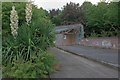
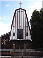
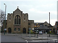
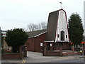
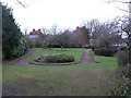
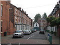
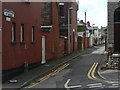
100 photos from this area
Area Information
Key information about the NG7 6QA including its size, population, and administrative classification.
- Area Type
- Postcode
- Area Size
- 2393 m²
- Population
- 1955
- Population Density
- 19848 people/km²
House Prices in NG7 6QA
19
Properties
£95,871
Average Sold Price
£28,750
Lowest Price
£188,500
Highest Price
Showing 19 properties
| Address | Type | Beds | Baths | Last Sale Price | Last Sale Date | |
|---|---|---|---|---|---|---|
| 46 Harcourt Road, Nottingham, NG7 6QA | Semi-detached | 2 | 1 | £135,000 | Apr 2024 | |
| 18 Harcourt Road, Nottingham, NG7 6QA | Terraced | 2 | 1 | £133,000 | Apr 2024 | |
| 36 Harcourt Road, Nottingham, NG7 6QA | Terraced | 4 | - | £133,000 | Apr 2021 | |
| 28 Harcourt Road, Nottingham, NG7 6QA | Terraced | 2 | 1 | £91,750 | Mar 2020 | |
| 22 Harcourt Road, Nottingham, NG7 6QA | house | 2 | - | £92,000 | Aug 2018 | |
| 16 Harcourt Road, Nottingham, NG7 6QA | house | - | - | £44,500 | Nov 2013 | |
| 42 Harcourt Road, Nottingham, NG7 6QA | house | - | - | £74,000 | Jun 2013 | |
| 48 Harcourt Road, Nottingham, NG7 6QA | house | - | - | £130,000 | May 2010 | |
| 50 Harcourt Road, Nottingham, NG7 6QA | house | - | - | £65,000 | Oct 2008 | |
| 20 Harcourt Road, Nottingham, NG7 6QA | Terraced | 3 | 1 | £188,500 | Oct 2008 |
Page 1 of 2
Energy Efficiency in NG7 6QA
Amenities
Schools
| Rank | School | Type | Entry gender | Ages |
|---|
Explore more schools in this area
Go to Schools tabDemographics
Household Size
Family (3-5 people)
most common
Accommodation Type
Houses
most common
Tenure
38
majority
Ethnic Group
asian_total
most common
Religion
N/A
most common
Household Composition
N/A
most common
Age
22
median
Adults (30-64 years)
most common
Household Deprivation
N/A
with no deprivation
NS-SEC
15
in Lower managerial occupations
Explore more demographic insights in this area
Go to Demographics tabPlanning
Planning Constraints
- Flood RiskPremium
- Ramsar Wetland SitesPremium
- Area of Outstanding Natural BeautyPremium
- Protected Nature ReservePremium
- Protected WoodlandPremium