Area Overview for NG7 6HQ
Photos of NG7 6HQ
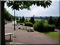
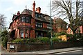
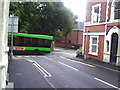
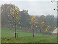

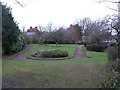
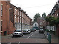
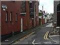
100 photos from this area
Area Information
Key information about the NG7 6HQ including its size, population, and administrative classification.
- Area Type
- Postcode
- Area Size
- 3701 m²
- Population
- 1955
- Population Density
- 19848 people/km²
House Prices in NG7 6HQ
37
Properties
£72,411
Average Sold Price
£17,000
Lowest Price
£127,000
Highest Price
Showing 37 properties
| Address | Type | Beds | Baths | Last Sale Price | Last Sale Date | |
|---|---|---|---|---|---|---|
| 147 Stanley Road, Nottingham, NG7 6HQ | Terraced | 2 | 1 | £126,000 | Jun 2024 | |
| 137 Stanley Road, Nottingham, NG7 6HQ | Retail | 2 | 1 | £126,000 | Oct 2022 | |
| 125 Stanley Road, Nottingham, NG7 6HQ | Terraced | 2 | 1 | £118,500 | Sep 2021 | |
| 141 Stanley Road, Nottingham, NG7 6HQ | house | - | - | £127,000 | Jul 2021 | |
| 83 Stanley Road, Nottingham, NG7 6HQ | house | - | - | £96,000 | May 2021 | |
| 85 Stanley Road, Nottingham, NG7 6HQ | Terraced | 2 | 1 | £85,000 | Dec 2017 | |
| 91 Stanley Road, Nottingham, NG7 6HQ | Terraced | 2 | - | £71,000 | Oct 2016 | |
| 87 Stanley Road, Nottingham, NG7 6HQ | Semi-detached | 2 | - | £71,000 | May 2016 | |
| 95 Stanley Road, Nottingham, NG7 6HQ | house | 2 | - | £69,500 | Apr 2015 | |
| 99 Stanley Road, Nottingham, NG7 6HQ | Terraced | 2 | 1 | £61,000 | Mar 2015 |
Page 1 of 4
Energy Efficiency in NG7 6HQ
Amenities
Schools
| Rank | School | Type | Entry gender | Ages |
|---|
Explore more schools in this area
Go to Schools tabDemographics
Household Size
Family (3-5 people)
most common
Accommodation Type
Houses
most common
Tenure
38
majority
Ethnic Group
asian_total
most common
Religion
N/A
most common
Household Composition
N/A
most common
Age
22
median
Adults (30-64 years)
most common
Household Deprivation
N/A
with no deprivation
NS-SEC
15
in Lower managerial occupations
Explore more demographic insights in this area
Go to Demographics tabPlanning
Planning Constraints
- Flood RiskPremium
- Ramsar Wetland SitesPremium
- Area of Outstanding Natural BeautyPremium
- Protected Nature ReservePremium
- Protected WoodlandPremium