Area Overview for NG7 6HH
Photos of NG7 6HH
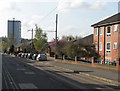
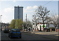
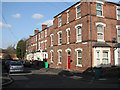
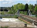
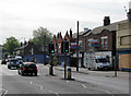
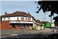
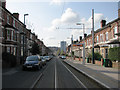
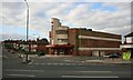
100 photos from this area
Area Information
Key information about the NG7 6HH including its size, population, and administrative classification.
- Area Type
- Postcode
- Area Size
- 3740 m²
- Population
- 1955
- Population Density
- 19848 people/km²
House Prices in NG7 6HH
39
Properties
£73,312
Average Sold Price
£25,000
Lowest Price
£128,000
Highest Price
Showing 39 properties
| Address | Type | Beds | Baths | Last Sale Price | Last Sale Date | |
|---|---|---|---|---|---|---|
| 126 Ewart Road, Nottingham, NG7 6HH | Terraced | 2 | 1 | £128,000 | Jun 2024 | |
| 94 Ewart Road, Nottingham, NG7 6HH | Terraced | 2 | - | £100,000 | Mar 2024 | |
| 108 Ewart Road, Nottingham, NG7 6HH | Terraced | 2 | 1 | £118,000 | Jun 2023 | |
| 106 Ewart Road, Nottingham, NG7 6HH | house | - | - | £92,500 | Apr 2021 | |
| 138 Ewart Road, Nottingham, NG7 6HH | Terraced | 2 | 1 | £110,000 | Dec 2019 | |
| 148 Ewart Road, Nottingham, NG7 6HH | Terraced | 2 | 1 | £92,500 | Nov 2018 | |
| 110 Ewart Road, Nottingham, NG7 6HH | Terraced | 2 | 1 | £70,000 | Feb 2017 | |
| 112 Ewart Road, Nottingham, NG7 6HH | Terraced | 2 | 1 | £73,000 | Apr 2015 | |
| 144 Ewart Road, Nottingham, NG7 6HH | house | 2 | 1 | £73,500 | Jun 2007 | |
| 124 Ewart Road, Nottingham, NG7 6HH | house | - | - | £53,000 | Mar 2007 |
Page 1 of 4
Energy Efficiency in NG7 6HH
Amenities
Schools
| Rank | School | Type | Entry gender | Ages |
|---|
Explore more schools in this area
Go to Schools tabDemographics
Household Size
Family (3-5 people)
most common
Accommodation Type
Houses
most common
Tenure
38
majority
Ethnic Group
asian_total
most common
Religion
N/A
most common
Household Composition
N/A
most common
Age
22
median
Adults (30-64 years)
most common
Household Deprivation
N/A
with no deprivation
NS-SEC
15
in Lower managerial occupations
Explore more demographic insights in this area
Go to Demographics tabPlanning
Planning Constraints
- Flood RiskPremium
- Ramsar Wetland SitesPremium
- Area of Outstanding Natural BeautyPremium
- Protected Nature ReservePremium
- Protected WoodlandPremium