Area Overview for NG7 5RY
Photos of NG7 5RY
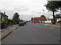
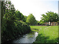
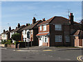
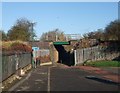
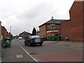
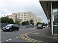
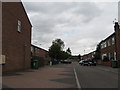
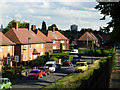
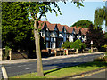
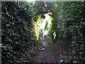
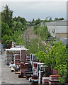
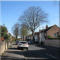
100 photos from this area
Area Information
Key information about the NG7 5RY including its size, population, and administrative classification.
- Area Type
- Postcode
- Area Size
- 1.1 hectares
- Population
- 1835
- Population Density
- 7636 people/km²
House Prices in NG7 5RY
21
Properties
£126,227
Average Sold Price
£46,000
Lowest Price
£200,000
Highest Price
Showing 21 properties
| Address | Type | Beds | Baths | Last Sale Price | Last Sale Date | |
|---|---|---|---|---|---|---|
| 3 Fleet Close, Nottingham, NG7 5RY | Detached | 3 | 1 | £200,000 | Feb 2023 | |
| 1 Fleet Close, Nottingham, NG7 5RY | Semi-detached | 3 | 1 | £157,500 | Aug 2019 | |
| 20 Fleet Close, Nottingham, NG7 5RY | house | - | - | £140,000 | Mar 2019 | |
| 16 Fleet Close, Nottingham, NG7 5RY | Semi-detached | 3 | 1 | £145,000 | Mar 2019 | |
| 10 Fleet Close, Nottingham, NG7 5RY | Semi-detached | 3 | 1 | £138,000 | Aug 2018 | |
| 4 Fleet Close, Nottingham, NG7 5RY | house | - | - | £120,000 | Feb 2014 | |
| 15 Fleet Close, Nottingham, NG7 5RY | house | - | - | £152,000 | Sep 2007 | |
| 8 Fleet Close, Nottingham, NG7 5RY | house | 4 | 3 | £103,000 | Jul 2007 | |
| 19 Fleet Close, Nottingham, NG7 5RY | house | 3 | 1 | £138,000 | May 2007 | |
| 5 Fleet Close, Nottingham, NG7 5RY | house | - | - | £49,000 | Oct 1999 |
Page 1 of 3
Energy Efficiency in NG7 5RY
Amenities
Schools
| Rank | School | Type | Entry gender | Ages |
|---|
Explore more schools in this area
Go to Schools tabDemographics
Household Size
Family (3-5 people)
most common
Accommodation Type
Houses
most common
Tenure
52
majority
Ethnic Group
asian_total
most common
Religion
N/A
most common
Household Composition
N/A
most common
Age
47
median
Adults (30-64 years)
most common
Household Deprivation
N/A
with no deprivation
NS-SEC
16
in Lower managerial occupations
Explore more demographic insights in this area
Go to Demographics tabPlanning
Planning Constraints
- Flood RiskPremium
- Ramsar Wetland SitesPremium
- Area of Outstanding Natural BeautyPremium
- Protected Nature ReservePremium
- Protected WoodlandPremium