Area Overview for NG7 5QJ
Photos of NG7 5QJ
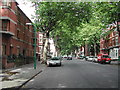
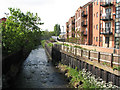
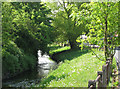
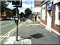
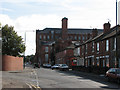
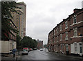
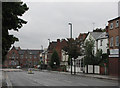
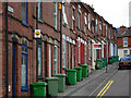
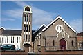
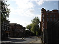
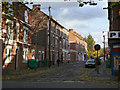
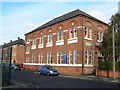
100 photos from this area
Area Information
Key information about the NG7 5QJ including its size, population, and administrative classification.
- Area Type
- Postcode
- Area Size
- 4.1 hectares
- Population
- 1835
- Population Density
- 7636 people/km²
House Prices in NG7 5QJ
20
Properties
£195,417
Average Sold Price
£108,000
Lowest Price
£437,500
Highest Price
Showing 20 properties
| Address | Type | Beds | Baths | Last Sale Price | Last Sale Date | |
|---|---|---|---|---|---|---|
| 281 Radford Boulevard, Nottingham, NG7 5QJ | house | 6 | 2 | £437,500 | Mar 2022 | |
| Flat Over, 293 Radford Boulevard, Nottingham, NG7 5QJ | Flat | 4 | 1 | £240,000 | Sep 2012 | |
| 287 Radford Boulevard, Nottingham, NG7 5QJ | house | 4 | - | £120,000 | Feb 2011 | |
| 277 Radford Boulevard, Nottingham, NG7 5QJ | Terraced | 4 | 1 | £157,000 | Jul 2006 | |
| 285 Radford Boulevard, Nottingham, NG7 5QJ | Terraced | - | - | £108,000 | Apr 2006 | |
| 303A Radford Boulevard, Nottingham, NG7 5QJ | Maisonette | - | - | £110,000 | Apr 2004 | |
| 297A Radford Boulevard, Nottingham, NG7 5QJ | Flat | 5 | 1 | - | - | |
| Flat, 291 Radford Boulevard, Nottingham, NG7 5QJ | Flat | - | - | - | - | |
| 289 Radford Boulevard, Nottingham, NG7 5QJ | house | - | - | - | - | |
| 271 Radford Boulevard, Nottingham, NG7 5QJ | Terraced | - | - | - | - |
Page 1 of 2
Energy Efficiency in NG7 5QJ
Amenities
Schools
| Rank | School | Type | Entry gender | Ages |
|---|
Explore more schools in this area
Go to Schools tabDemographics
Household Size
Family (3-5 people)
most common
Accommodation Type
Houses
most common
Tenure
52
majority
Ethnic Group
asian_total
most common
Religion
N/A
most common
Household Composition
N/A
most common
Age
47
median
Adults (30-64 years)
most common
Household Deprivation
N/A
with no deprivation
NS-SEC
16
in Lower managerial occupations
Explore more demographic insights in this area
Go to Demographics tabPlanning
Planning Constraints
- Flood RiskPremium
- Ramsar Wetland SitesPremium
- Area of Outstanding Natural BeautyPremium
- Protected Nature ReservePremium
- Protected WoodlandPremium