Area Overview for NG7 5NG
Photos of NG7 5NG
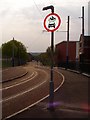
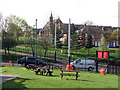
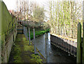
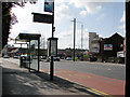
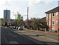
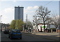
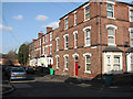
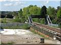
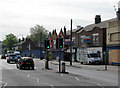
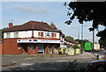
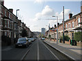
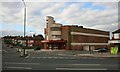
100 photos from this area
Area Information
Key information about the NG7 5NG including its size, population, and administrative classification.
- Area Type
- Postcode
- Area Size
- 3693 m²
- Population
- 1974
- Population Density
- 14677 people/km²
House Prices in NG7 5NG
31
Properties
£119,242
Average Sold Price
£28,000
Lowest Price
£182,500
Highest Price
Showing 31 properties
| Address | Type | Beds | Baths | Last Sale Price | Last Sale Date | |
|---|---|---|---|---|---|---|
| 412 Alfreton Road, Nottingham, NG7 5NG | Terraced | 1 | 1 | £182,500 | Nov 2024 | |
| 408 Alfreton Road, Nottingham, NG7 5NG | Terraced | 4 | 1 | £177,000 | Aug 2021 | |
| 416 Alfreton Road, Nottingham, NG7 5NG | Terraced | 4 | 2 | £88,000 | Aug 2015 | |
| 430 Alfreton Road, Nottingham, NG7 5NG | house | - | - | £60,000 | Jul 2011 | |
| 426 Alfreton Road, Nottingham, NG7 5NG | house | 4 | - | £179,950 | May 2010 | |
| 428 Alfreton Road, Nottingham, NG7 5NG | house | - | - | £28,000 | Dec 1999 | |
| Flat 1, 406 Alfreton Road, Nottingham, NG7 5NG | Semi-detached | 5 | 4 | - | - | |
| Flat 2, 410 Alfreton Road, Nottingham, NG7 5NG | Maisonette | - | - | - | - | |
| Flat 1, 410 Alfreton Road, Nottingham, NG7 5NG | Flat | - | - | - | - | |
| Living Accommodation Over Le Grand Hotel, 398 Alfreton Road, Nottingham, NG7 5NG | Flat | - | - | - | - |
Page 1 of 4
Energy Efficiency in NG7 5NG
Amenities
Schools
| Rank | School | Type | Entry gender | Ages |
|---|
Explore more schools in this area
Go to Schools tabDemographics
Household Size
Family (3-5 people)
most common
Accommodation Type
Houses
most common
Tenure
35
majority
Ethnic Group
asian_total
most common
Religion
N/A
most common
Household Composition
N/A
most common
Age
47
median
Adults (30-64 years)
most common
Household Deprivation
N/A
with no deprivation
NS-SEC
12
in Lower managerial occupations
Explore more demographic insights in this area
Go to Demographics tabPlanning
Planning Constraints
- Flood RiskPremium
- Ramsar Wetland SitesPremium
- Area of Outstanding Natural BeautyPremium
- Protected Nature ReservePremium
- Protected WoodlandPremium