Area Overview for NG7 5GT
Photos of NG7 5GT
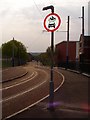
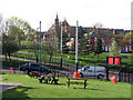
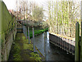
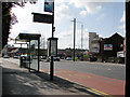
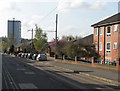
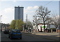
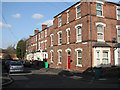
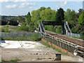
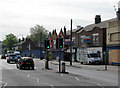
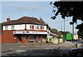
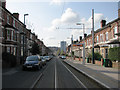
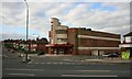
100 photos from this area
Area Information
Key information about the NG7 5GT including its size, population, and administrative classification.
- Area Type
- Postcode
- Area Size
- 3116 m²
- Population
- 1349
- Population Density
- 10539 people/km²
House Prices in NG7 5GT
21
Properties
£108,400
Average Sold Price
£25,000
Lowest Price
£165,000
Highest Price
Showing 21 properties
| Address | Type | Beds | Baths | Last Sale Price | Last Sale Date | |
|---|---|---|---|---|---|---|
| Maisonette, 209 Radford Road, Nottingham, NG7 5GT | Retail | - | - | £155,000 | Mar 2016 | |
| Flat Over, 211 Radford Road, Nottingham, NG7 5GT | Flat | 4 | 1 | £155,000 | Dec 2014 | |
| Flat First And Second Floors, 207 Radford Road, Nottingham, NG7 5GT | Maisonette | - | - | £165,000 | Sep 2007 | |
| Flat Over, 203 Radford Road, Nottingham, NG7 5GT | Flat | - | - | £42,000 | Sep 2001 | |
| 215A Radford Road, Nottingham, NG7 5GT | Maisonette | - | - | £25,000 | Jun 1996 | |
| 187-A-189-A Radford Road, Nottingham, NG7 5GT | Flat | - | - | - | - | |
| 189A Radford Road, Nottingham, NG7 5GT | house | - | - | - | - | |
| 191B Radford Road, Nottingham, NG7 5GT | Flat | - | - | - | - | |
| 199C Radford Road, Nottingham, NG7 5GT | Flat | 2 | 1 | - | - | |
| 195A Radford Road, Nottingham, NG7 5GT | Flat | - | - | - | - |
Page 1 of 3
Energy Efficiency in NG7 5GT
Amenities
Schools
| Rank | School | Type | Entry gender | Ages |
|---|
Explore more schools in this area
Go to Schools tabDemographics
Household Size
One person
most common
Accommodation Type
Flats
most common
Tenure
17
majority
Ethnic Group
White
most common
Religion
N/A
most common
Household Composition
N/A
most common
Age
22
median
Adults (30-64 years)
most common
Household Deprivation
N/A
with no deprivation
NS-SEC
10
in Lower managerial occupations
Explore more demographic insights in this area
Go to Demographics tabPlanning
Planning Constraints
- Flood RiskPremium
- Ramsar Wetland SitesPremium
- Area of Outstanding Natural BeautyPremium
- Protected Nature ReservePremium
- Protected WoodlandPremium