Area Overview for NG7 4GJ
Photos of NG7 4GJ
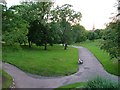
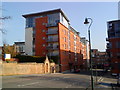
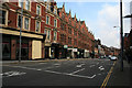
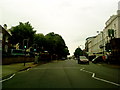
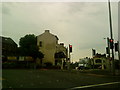
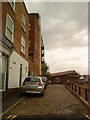
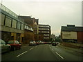
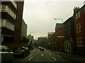
100 photos from this area
Area Information
Key information about the NG7 4GJ including its size, population, and administrative classification.
- Area Type
- Postcode
- Area Size
- 5208 m²
- Population
- 4005
- Population Density
- 9714 people/km²
House Prices in NG7 4GJ
25
Properties
£268,889
Average Sold Price
£75,000
Lowest Price
£905,000
Highest Price
Showing 25 properties
| Address | Type | Beds | Baths | Last Sale Price | Last Sale Date | |
|---|---|---|---|---|---|---|
| 67A Cromwell Street, Nottingham, NG7 4GJ | Detached | 10 | 4 | £905,000 | Jul 2024 | |
| 62 Cromwell Street, Nottingham, NG7 4GJ | Terraced | 5 | 2 | £182,000 | Mar 2016 | |
| 63 Cromwell Street, Nottingham, NG7 4GJ | house | 5 | - | £182,000 | Jul 2007 | |
| 64 Cromwell Street, Nottingham, NG7 4GJ | house | 4 | 1 | £175,000 | Jul 2006 | |
| 73 Cromwell Street, Nottingham, NG7 4GJ | house | 5 | - | £460,000 | Nov 2005 | |
| 61 Cromwell Street, Nottingham, NG7 4GJ | Detached | 5 | 2 | £175,000 | Sep 2004 | |
| 60 Cromwell Street, Nottingham, NG7 4GJ | house | 5 | 2 | £186,000 | Jun 2003 | |
| 65 Cromwell Street, Nottingham, NG7 4GJ | house | 5 | 2 | £75,000 | Apr 2000 | |
| 70 Cromwell Street, Nottingham, NG7 4GJ | Detached | 8 | 2 | £80,000 | May 1997 | |
| 72A Cromwell Street, Nottingham, NG7 4GJ | Semi-detached | 5 | 2 | - | - |
Page 1 of 3
Energy Efficiency in NG7 4GJ
Amenities
Schools
| Rank | School | Type | Entry gender | Ages |
|---|
Explore more schools in this area
Go to Schools tabDemographics
Household Size
Two person
most common
Accommodation Type
Flats
most common
Tenure
13
majority
Ethnic Group
White
most common
Religion
N/A
most common
Household Composition
N/A
most common
Age
22
median
Young Adults (15-29 years)
most common
Household Deprivation
N/A
with no deprivation
NS-SEC
7
in Lower managerial occupations
Explore more demographic insights in this area
Go to Demographics tabPlanning
Planning Constraints
- Flood RiskPremium
- Ramsar Wetland SitesPremium
- Area of Outstanding Natural BeautyPremium
- Protected Nature ReservePremium
- Protected WoodlandPremium