Area Overview for NG7 4BQ
Photos of NG7 4BQ
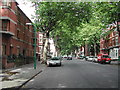
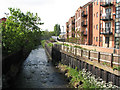
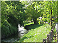
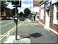
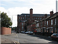
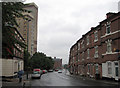
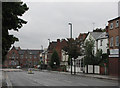
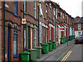
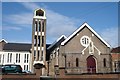
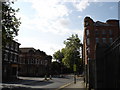
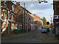
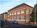
100 photos from this area
Area Information
Key information about the NG7 4BQ including its size, population, and administrative classification.
- Area Type
- Postcode
- Area Size
- 6489 m²
- Population
- 2230
- Population Density
- 12213 people/km²
House Prices in NG7 4BQ
28
Properties
£152,364
Average Sold Price
£40,000
Lowest Price
£300,000
Highest Price
Showing 28 properties
| Address | Type | Beds | Baths | Last Sale Price | Last Sale Date | |
|---|---|---|---|---|---|---|
| 41 Southey Street, Nottingham, NG7 4BQ | Terraced | 4 | 1 | £225,000 | Feb 2024 | |
| 51 Southey Street, Nottingham, NG7 4BQ | Semi-detached | 3 | 1 | £210,000 | Feb 2024 | |
| 31 Southey Street, Nottingham, NG7 4BQ | house | 3 | 1 | £190,000 | Mar 2021 | |
| 35 Southey Street, Nottingham, NG7 4BQ | Terraced | 3 | 1 | £150,000 | Oct 2020 | |
| 37 Southey Street, Nottingham, NG7 4BQ | Terraced | 3 | 1 | £126,000 | Jun 2019 | |
| 29 Southey Street, Nottingham, NG7 4BQ | Terraced | 3 | 3 | £120,000 | Jun 2018 | |
| 49 Southey Street, Nottingham, NG7 4BQ | house | - | - | £60,000 | Oct 2016 | |
| 47 Southey Street, Nottingham, NG7 4BQ | house | - | - | £170,000 | Feb 2011 | |
| 8 Southey Street, Nottingham, NG7 4BQ | Detached | - | - | £300,000 | Jun 2009 | |
| 25 Southey Street, Nottingham, NG7 4BQ | Terraced | 1 | 1 | £85,000 | Sep 2002 |
Page 1 of 3
Energy Efficiency in NG7 4BQ
Amenities
Schools
| Rank | School | Type | Entry gender | Ages |
|---|
Explore more schools in this area
Go to Schools tabDemographics
Household Size
One person
most common
Accommodation Type
Flats
most common
Tenure
20
majority
Ethnic Group
White
most common
Religion
N/A
most common
Household Composition
N/A
most common
Age
22
median
Young Adults (15-29 years)
most common
Household Deprivation
N/A
with no deprivation
NS-SEC
12
in Lower managerial occupations
Explore more demographic insights in this area
Go to Demographics tabPlanning
Planning Constraints
- Flood RiskPremium
- Ramsar Wetland SitesPremium
- Area of Outstanding Natural BeautyPremium
- Protected Nature ReservePremium
- Protected WoodlandPremium