Area Overview for NG7 3EG
Photos of NG7 3EG
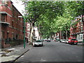
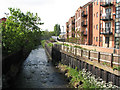
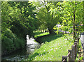
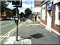
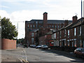
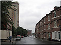
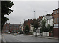
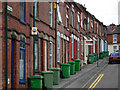
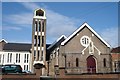
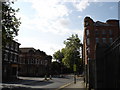
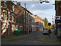

100 photos from this area
Area Information
Key information about the NG7 3EG including its size, population, and administrative classification.
- Area Type
- Postcode
- Area Size
- 4588 m²
- Population
- 3247
- Population Density
- 14231 people/km²
House Prices in NG7 3EG
11
Properties
£117,800
Average Sold Price
£70,000
Lowest Price
£187,000
Highest Price
Showing 11 properties
| Address | Type | Beds | Baths | Last Sale Price | Last Sale Date | |
|---|---|---|---|---|---|---|
| 324 Ilkeston Road, Nottingham, NG7 3EG | Terraced | 2 | 1 | £187,000 | Nov 2025 | |
| 330 Ilkeston Road, Nottingham, NG7 3EG | Semi-detached | 2 | 1 | £160,000 | May 2022 | |
| 326 Ilkeston Road, Nottingham, NG7 3EG | house | - | - | £70,000 | Apr 2022 | |
| 320 Ilkeston Road, Nottingham, NG7 3EG | Semi-detached | 2 | 1 | £95,000 | Mar 2017 | |
| 328 Ilkeston Road, Nottingham, NG7 3EG | house | 3 | 1 | £77,000 | Mar 2007 | |
| 316 Ilkeston Road, Nottingham, NG7 3EG | house | - | - | - | - | |
| 322 Ilkeston Road, Nottingham, NG7 3EG | house | - | - | - | - | |
| 334 Ilkeston Road, Nottingham, NG7 3EG | house | - | - | - | - | |
| 318 Ilkeston Road, Nottingham, NG7 3EG | house | - | - | - | - | |
| 336 Ilkeston Road, Nottingham, NG7 3EG | house | - | - | - | - |
Page 1 of 2
Energy Efficiency in NG7 3EG
Amenities
Schools
| Rank | School | Type | Entry gender | Ages |
|---|
Explore more schools in this area
Go to Schools tabDemographics
Household Size
Family (3-5 people)
most common
Accommodation Type
Flats
most common
Tenure
9
majority
Ethnic Group
White
most common
Religion
N/A
most common
Household Composition
N/A
most common
Age
22
median
Young Adults (15-29 years)
most common
Household Deprivation
N/A
with no deprivation
NS-SEC
4
in Lower managerial occupations
Explore more demographic insights in this area
Go to Demographics tabPlanning
Planning Constraints
- Flood RiskPremium
- Ramsar Wetland SitesPremium
- Area of Outstanding Natural BeautyPremium
- Protected Nature ReservePremium
- Protected WoodlandPremium