Area Overview for NG7 3DD
Photos of NG7 3DD
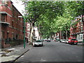
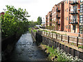
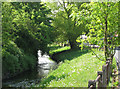
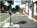
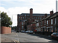
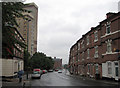
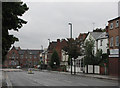
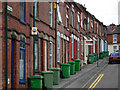
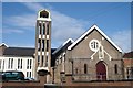
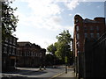
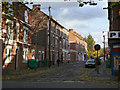
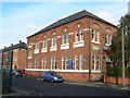
100 photos from this area
Area Information
Key information about the NG7 3DD including its size, population, and administrative classification.
- Area Type
- Postcode
- Area Size
- 3518 m²
- Population
- 2035
- Population Density
- 10871 people/km²
House Prices in NG7 3DD
45
Properties
£97,090
Average Sold Price
£28,750
Lowest Price
£175,000
Highest Price
Showing 45 properties
| Address | Type | Beds | Baths | Last Sale Price | Last Sale Date | |
|---|---|---|---|---|---|---|
| 112 Forster Street, Nottingham, NG7 3DD | Terraced | 4 | 2 | £175,000 | Feb 2025 | |
| 136 Forster Street, Nottingham, NG7 3DD | house | 3 | 1 | £146,000 | Nov 2022 | |
| 146 Forster Street, Nottingham, NG7 3DD | Terraced | 3 | 1 | £96,000 | Jul 2022 | |
| 114 Forster Street, Nottingham, NG7 3DD | house | 3 | 1 | £151,500 | Apr 2022 | |
| 130 Forster Street, Nottingham, NG7 3DD | house | - | - | £145,000 | Jan 2022 | |
| 126 Forster Street, Nottingham, NG7 3DD | house | - | - | £111,000 | Jan 2022 | |
| 124 Forster Street, Nottingham, NG7 3DD | house | - | - | £111,000 | Mar 2021 | |
| 144 Forster Street, Nottingham, NG7 3DD | Terraced | 3 | 1 | £127,000 | Mar 2021 | |
| 140 Forster Street, Nottingham, NG7 3DD | house | 3 | 2 | £127,500 | Sep 2020 | |
| 156 Forster Street, Nottingham, NG7 3DD | house | - | - | £95,000 | Aug 2018 |
Page 1 of 5
Energy Efficiency in NG7 3DD
Amenities
Schools
| Rank | School | Type | Entry gender | Ages |
|---|
Explore more schools in this area
Go to Schools tabDemographics
Household Size
Family (3-5 people)
most common
Accommodation Type
Houses
most common
Tenure
21
majority
Ethnic Group
White
most common
Religion
N/A
most common
Household Composition
N/A
most common
Age
22
median
Young Adults (15-29 years)
most common
Household Deprivation
N/A
with no deprivation
NS-SEC
11
in Lower managerial occupations
Explore more demographic insights in this area
Go to Demographics tabPlanning
Planning Constraints
- Flood RiskPremium
- Ramsar Wetland SitesPremium
- Area of Outstanding Natural BeautyPremium
- Protected Nature ReservePremium
- Protected WoodlandPremium