Area Overview for NG7 3AD
Photos of NG7 3AD
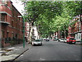
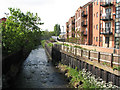
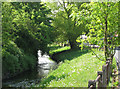
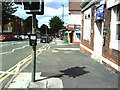
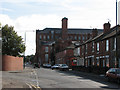
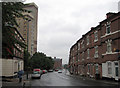
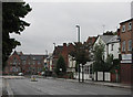
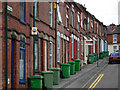
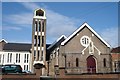
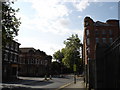
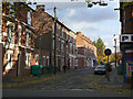
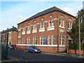
100 photos from this area
Area Information
Key information about the NG7 3AD including its size, population, and administrative classification.
- Area Type
- Postcode
- Area Size
- 3748 m²
- Population
- 2351
- Population Density
- 14053 people/km²
House Prices in NG7 3AD
35
Properties
£80,291
Average Sold Price
£26,500
Lowest Price
£170,000
Highest Price
Showing 35 properties
| Address | Type | Beds | Baths | Last Sale Price | Last Sale Date | |
|---|---|---|---|---|---|---|
| 32 Hartley Road, Nottingham, NG7 3AD | Terraced | 1 | 1 | £170,000 | Oct 2025 | |
| 40 Hartley Road, Nottingham, NG7 3AD | Terraced | 3 | 1 | £138,000 | Jul 2025 | |
| 62 Hartley Road, Nottingham, NG7 3AD | Terraced | 4 | 1 | £145,000 | May 2025 | |
| 60 Hartley Road, Nottingham, NG7 3AD | house | 3 | 1 | £140,000 | Aug 2022 | |
| 54 Hartley Road, Nottingham, NG7 3AD | Terraced | 2 | 1 | £139,250 | Nov 2019 | |
| 64 Hartley Road, Nottingham, NG7 3AD | Terraced | 3 | 1 | £107,500 | Mar 2019 | |
| 50 Hartley Road, Nottingham, NG7 3AD | Terraced | 3 | 1 | £60,000 | Jun 2011 | |
| 52 Hartley Road, Nottingham, NG7 3AD | Terraced | 5 | 1 | £62,500 | Sep 2009 | |
| 48 Hartley Road, Nottingham, NG7 3AD | house | - | - | £50,950 | Apr 2009 | |
| 70 Hartley Road, Nottingham, NG7 3AD | Terraced | 3 | 1 | £60,000 | Jan 2008 |
Page 1 of 4
Energy Efficiency in NG7 3AD
Amenities
Schools
| Rank | School | Type | Entry gender | Ages |
|---|
Explore more schools in this area
Go to Schools tabDemographics
Household Size
One person
most common
Accommodation Type
Flats
most common
Tenure
16
majority
Ethnic Group
White
most common
Religion
N/A
most common
Household Composition
N/A
most common
Age
22
median
Young Adults (15-29 years)
most common
Household Deprivation
N/A
with no deprivation
NS-SEC
8
in Lower managerial occupations
Explore more demographic insights in this area
Go to Demographics tabPlanning
Planning Constraints
- Flood RiskPremium
- Ramsar Wetland SitesPremium
- Area of Outstanding Natural BeautyPremium
- Protected Nature ReservePremium
- Protected WoodlandPremium