Area Overview for NG7 2PR
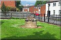
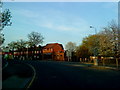
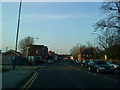
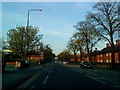
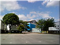
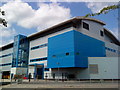
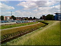
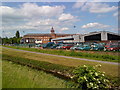
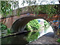
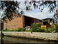
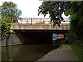
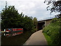
Photos of NG7 2PR
Area Information
NG7 2PR is a compact residential district in Nottingham, England, covering a total land area of 9,070 square metres. This postcode serves a population of 3,027 people, resulting in a very high population density of 333,736 people per square kilometre. Such intense density indicates that homes in NG7 2PR are situated closely together within a small geographic footprint, creating an urban feel for residents. Daily life here revolves around immediate proximity to key transport nodes and essential services. The area functions as a dense cluster rather than a sprawling community, meaning you rely heavily on local infrastructure. Living in NG7 2PR means navigating a space where every metre counts. You will find yourself surrounded by neighbours in a setting that prioritises connectivity over expansive green space. The sheer number of inhabitants per square kilometre shapes the acoustic environment and the pace of street life.
- Area Type
- Postcode
- Area Size
- 9070 m²
- Population
- 3027
- Population Density
- 5757 people/km²
NG7 2PR is defined by a distinct lack of owner occupation, with just 15 per cent of properties being owner-occupied. The primary accommodation type comprises houses, yet the ownership figures point toward a rental-led economy. This statistic indicates that homes in NG7 2PR are predominantly rented to tenants rather than lived in by owners. The physical stock consists of houses, but the economic reality is that you are looking at a market driven by supply and demand for tenancy. Buyers considering this postcode should expect a landscape shaped by renters. With only one person in seven potentially owning their home, the stability usually associated with owner-occupied estates is absent. Instead, the turnover of residents will be naturally higher. This market structure influences everything from property maintenance standards to the length of time a household stays in a specific property.
House Prices in NG7 2PR
No properties found in this postcode.
Energy Efficiency in NG7 2PR
Residents of NG7 2PR have access to a wide range of practical amenities within practical reach, given the nearby 40-metre radius. Five metro stops serve the area, including the Gregory Street Tram Stop, Queens Medical Centre Tram Stop, and NG2 Tram Stop. For shopping, you can visit five retail locations such as Tesco Nottingham, Sainsburys Castle, and Lidl Bridge. Transport connections extend to five railway stations, notably Nottingham Railway Station, Beeston Railway Station, and Attenborough Railway Station. Additionally, one airport is nearby, identified as Nottingham Airport. Living in NG7 2PR grants you easy entry to major retail chains and public transit hubs. The presence of multiple train stations allows for quick commutes to central Nottingham or beyond without needing a private vehicle. You also benefit from immediate supermarket access for daily groceries and household essentials.
Amenities
Schools
| Rank | School | Type | Entry gender | Ages |
|---|
Explore more schools in this area
Go to Schools tabDemographics
The community within NG7 2PR is dominated by young adults aged 15 to 29 years. The median age for residents is just 22, confirming that this postcode is a hub for early adulthood. Only 15 per cent of households in this area own their homes; this implies a rental market drives the landscape. Most residents live in houses, yet the very low ownership rate suggests a significant student or transient population. The predominant ethnic group in NG7 2PR is White. With a third of the landscape consisting of young residents and such a low proportion of homeowners, the area likely caters to those seeking temporary accommodation or rental solutions. This demographic profile creates a dynamic neighbourhood where lifestyle choices centre around work, study, or short-term living arrangements rather than long-term family establishment.
Household Size
Accommodation Type
Tenure
Ethnic Group
Religion
Household Composition
Age
Household Deprivation
NS-SEC
Explore more demographic insights in this area
Go to Demographics tabPlanning
Planning Constraints
- Flood RiskPremium
- Ramsar Wetland SitesPremium
- Area of Outstanding Natural BeautyPremium
- Protected Nature ReservePremium
- Protected WoodlandPremium