Area Overview for NG6 8SE
Photos of NG6 8SE
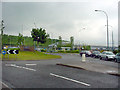
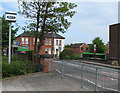
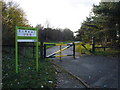
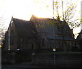
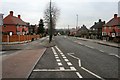
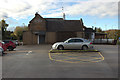
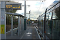
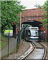
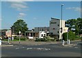
70 photos from this area
Area Information
Key information about the NG6 8SE including its size, population, and administrative classification.
- Area Type
- Postcode
- Area Size
- 6777 m²
- Population
- 1480
- Population Density
- 3929 people/km²
House Prices in NG6 8SE
21
Properties
£109,444
Average Sold Price
£22,000
Lowest Price
£165,000
Highest Price
Showing 21 properties
| Address | Type | Beds | Baths | Last Sale Price | Last Sale Date | |
|---|---|---|---|---|---|---|
| 225 Cinderhill Road, Nottingham, NG6 8SE | Semi-detached | 2 | 1 | £80,000 | Oct 2024 | |
| 219 Cinderhill Road, Nottingham, NG6 8SE | Semi-detached | 3 | 1 | £165,000 | Sep 2021 | |
| 235 Cinderhill Road, Nottingham, NG6 8SE | Semi-detached | 3 | 1 | £137,500 | Jun 2020 | |
| 233 Cinderhill Road, Nottingham, NG6 8SE | Semi-detached | 3 | - | £115,000 | Jan 2017 | |
| 245 Cinderhill Road, Nottingham, NG6 8SE | Semi-detached | 3 | - | £119,000 | Feb 2016 | |
| 215 Cinderhill Road, Nottingham, NG6 8SE | Semi-detached | 3 | - | £104,000 | Oct 2013 | |
| 223 Cinderhill Road, Nottingham, NG6 8SE | house | 3 | - | £115,000 | May 2011 | |
| 231 Cinderhill Road, Nottingham, NG6 8SE | Detached | 3 | 2 | £127,500 | Aug 2005 | |
| 221 Cinderhill Road, Nottingham, NG6 8SE | Semi-detached | - | - | £22,000 | May 1998 | |
| Flat 4, 227 Cinderhill Road, Nottingham, NG6 8SE | Flat | 4 | 4 | - | - |
Page 1 of 3
Energy Efficiency in NG6 8SE
Amenities
Schools
| Rank | School | Type | Entry gender | Ages |
|---|
Explore more schools in this area
Go to Schools tabDemographics
Household Size
Two person
most common
Accommodation Type
Houses
most common
Tenure
80
majority
Ethnic Group
White
most common
Religion
N/A
most common
Household Composition
N/A
most common
Age
47
median
Adults (30-64 years)
most common
Household Deprivation
N/A
with no deprivation
NS-SEC
28
in Lower managerial occupations
Explore more demographic insights in this area
Go to Demographics tabPlanning
Planning Constraints
- Flood RiskPremium
- Ramsar Wetland SitesPremium
- Area of Outstanding Natural BeautyPremium
- Protected Nature ReservePremium
- Protected WoodlandPremium