Area Overview for NG6 8EE
Photos of NG6 8EE
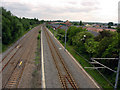
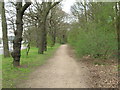

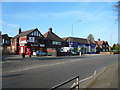
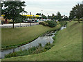
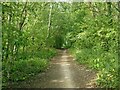

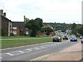
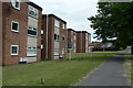
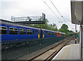
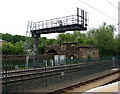
62 photos from this area
Area Information
Key information about the NG6 8EE including its size, population, and administrative classification.
- Area Type
- Postcode
- Area Size
- 3.4 hectares
- Population
- 1546
- Population Density
- 3890 people/km²
House Prices in NG6 8EE
46
Properties
£107,959
Average Sold Price
£26,634
Lowest Price
£175,000
Highest Price
Showing 46 properties
| Address | Type | Beds | Baths | Last Sale Price | Last Sale Date | |
|---|---|---|---|---|---|---|
| 14 Naomi Crescent, Nottingham, NG6 8EE | Semi-detached | 3 | 1 | £175,000 | Apr 2025 | |
| 28 Naomi Crescent, Nottingham, NG6 8EE | house | - | - | £145,000 | Nov 2021 | |
| 3 Naomi Crescent, Nottingham, NG6 8EE | house | - | - | £150,000 | Oct 2020 | |
| 42 Naomi Crescent, Nottingham, NG6 8EE | Semi-detached | 3 | 1 | £132,000 | May 2018 | |
| 21 Naomi Crescent, Nottingham, NG6 8EE | Semi-detached | 3 | - | £86,500 | Jun 2012 | |
| 9 Naomi Crescent, Nottingham, NG6 8EE | Semi-detached | - | - | £53,500 | Sep 2009 | |
| 56 Naomi Crescent, Nottingham, NG6 8EE | Semi-detached | - | - | £118,000 | May 2007 | |
| 26 Naomi Crescent, Nottingham, NG6 8EE | Semi-detached | - | - | £85,000 | Jun 2006 | |
| 4 Naomi Crescent, Nottingham, NG6 8EE | Semi-detached | - | - | £26,634 | Oct 2001 | |
| 20 Naomi Crescent, Nottingham, NG6 8EE | house | - | - | - | - |
Page 1 of 5
Energy Efficiency in NG6 8EE
Amenities
Schools
| Rank | School | Type | Entry gender | Ages |
|---|
Explore more schools in this area
Go to Schools tabDemographics
Household Size
Family (3-5 people)
most common
Accommodation Type
Houses
most common
Tenure
40
majority
Ethnic Group
White
most common
Religion
N/A
most common
Household Composition
N/A
most common
Age
47
median
Adults (30-64 years)
most common
Household Deprivation
N/A
with no deprivation
NS-SEC
14
in Lower managerial occupations
Explore more demographic insights in this area
Go to Demographics tabPlanning
Planning Constraints
- Flood RiskPremium
- Ramsar Wetland SitesPremium
- Area of Outstanding Natural BeautyPremium
- Protected Nature ReservePremium
- Protected WoodlandPremium