Area Overview for NG6 8AF
Photos of NG6 8AF
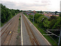
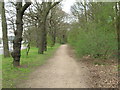
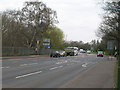
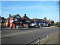
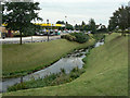
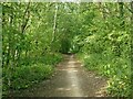
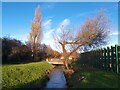
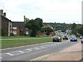
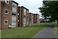
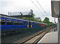
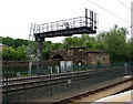
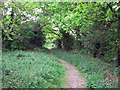
62 photos from this area
Area Information
Key information about the NG6 8AF including its size, population, and administrative classification.
- Area Type
- Postcode
- Area Size
- 2.0 hectares
- Population
- 1311
- Population Density
- 3549 people/km²
House Prices in NG6 8AF
20
Properties
£103,795
Average Sold Price
£59,950
Lowest Price
£175,000
Highest Price
Showing 20 properties
| Address | Type | Beds | Baths | Last Sale Price | Last Sale Date | |
|---|---|---|---|---|---|---|
| 243 Hucknall Lane, Nottingham, NG6 8AF | Semi-detached | 3 | 1 | £175,000 | Mar 2025 | |
| 277 Hucknall Lane, Nottingham, NG6 8AF | Semi-detached | 3 | 1 | £125,000 | Feb 2020 | |
| 245 Hucknall Lane, Nottingham, NG6 8AF | Semi-detached | 3 | 1 | £135,000 | Dec 2019 | |
| 241 Hucknall Lane, Nottingham, NG6 8AF | Semi-detached | 1 | 1 | £95,000 | May 2018 | |
| 269 Hucknall Lane, Nottingham, NG6 8AF | Terraced | 3 | - | £91,000 | Mar 2017 | |
| 275 Hucknall Lane, Nottingham, NG6 8AF | Terraced | 3 | - | £100,000 | Oct 2016 | |
| 247 Hucknall Lane, Nottingham, NG6 8AF | house | - | - | £90,000 | Oct 2006 | |
| 279 Hucknall Lane, Nottingham, NG6 8AF | Detached | 3 | 1 | £84,000 | Aug 2006 | |
| 261 Hucknall Lane, Nottingham, NG6 8AF | Semi-detached | - | - | £82,995 | Jul 2004 | |
| 257 Hucknall Lane, Nottingham, NG6 8AF | house | - | - | £59,950 | Apr 2003 |
Page 1 of 2
Energy Efficiency in NG6 8AF
Amenities
Schools
| Rank | School | Type | Entry gender | Ages |
|---|
Explore more schools in this area
Go to Schools tabDemographics
Household Size
Family (3-5 people)
most common
Accommodation Type
Houses
most common
Tenure
43
majority
Ethnic Group
White
most common
Religion
N/A
most common
Household Composition
N/A
most common
Age
47
median
Adults (30-64 years)
most common
Household Deprivation
N/A
with no deprivation
NS-SEC
18
in Lower managerial occupations
Explore more demographic insights in this area
Go to Demographics tabPlanning
Planning Constraints
- Flood RiskPremium
- Ramsar Wetland SitesPremium
- Area of Outstanding Natural BeautyPremium
- Protected Nature ReservePremium
- Protected WoodlandPremium