Area Overview for NG5 8LS
Photos of NG5 8LS
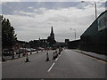
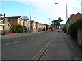
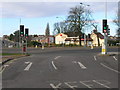
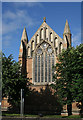
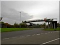
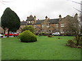
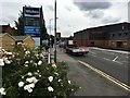
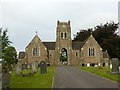
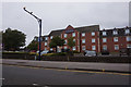
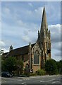
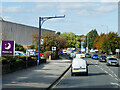
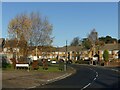
35 photos from this area
Area Information
Key information about the NG5 8LS including its size, population, and administrative classification.
- Area Type
- Postcode
- Area Size
- 3.1 hectares
- Population
- 1342
- Population Density
- 1021 people/km²
House Prices in NG5 8LS
28
Properties
£283,638
Average Sold Price
£60,000
Lowest Price
£950,000
Highest Price
Showing 28 properties
| Address | Type | Beds | Baths | Last Sale Price | Last Sale Date | |
|---|---|---|---|---|---|---|
| 255 Mansfield Road, Redhill, NG5 8LS | house | 5 | - | £950,000 | Oct 2023 | |
| 259 Mansfield Road, Redhill, NG5 8LS | Retail | 5 | 3 | £615,000 | Jul 2022 | |
| 261 Mansfield Road, Redhill, NG5 8LS | Detached | 4 | 2 | £450,000 | Jun 2021 | |
| 257 Mansfield Road, Redhill, NG5 8LS | Detached | 5 | 2 | £390,000 | Jul 2019 | |
| 249A Mansfield Road, Redhill, NG5 8LS | Bungalow | 2 | 2 | £293,000 | Feb 2014 | |
| 239 Mansfield Road, Arnold, NG5 8LS | house | - | - | £185,000 | Jun 2009 | |
| 253 Mansfield Road, Redhill, NG5 8LS | Detached | 3 | 2 | £174,750 | Dec 2008 | |
| 247 Mansfield Road, Redhill, NG5 8LS | Bungalow | - | - | £205,000 | Oct 2008 | |
| 249 Mansfield Road, Redhill, NG5 8LS | Detached | - | - | £265,000 | Sep 2007 | |
| 251 Mansfield Road, Redhill, NG5 8LS | Bungalow | 3 | 1 | £209,950 | Aug 2006 |
Page 1 of 3
Energy Efficiency in NG5 8LS
Amenities
Schools
| Rank | School | Type | Entry gender | Ages |
|---|
Explore more schools in this area
Go to Schools tabDemographics
Household Size
Two person
most common
Accommodation Type
Houses
most common
Tenure
92
majority
Ethnic Group
White
most common
Religion
N/A
most common
Household Composition
N/A
most common
Age
47
median
Adults (30-64 years)
most common
Household Deprivation
N/A
with no deprivation
NS-SEC
41
in Lower managerial occupations
Explore more demographic insights in this area
Go to Demographics tabPlanning
Planning Constraints
- Flood RiskPremium
- Ramsar Wetland SitesPremium
- Area of Outstanding Natural BeautyPremium
- Protected Nature ReservePremium
- Protected WoodlandPremium