Area Overview for NG5 8JU
Photos of NG5 8JU
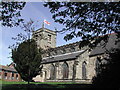
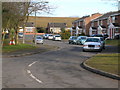
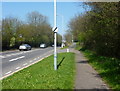
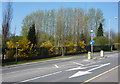
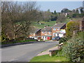
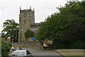
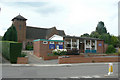
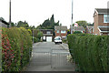
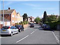
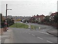
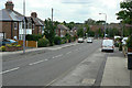
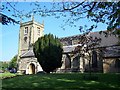
61 photos from this area
Area Information
Key information about the NG5 8JU including its size, population, and administrative classification.
- Area Type
- Postcode
- Area Size
- 3.2 hectares
- Population
- 2253
- Population Density
- 243 people/km²
House Prices in NG5 8JU
34
Properties
£95,187
Average Sold Price
£35,000
Lowest Price
£272,000
Highest Price
Showing 34 properties
| Address | Type | Beds | Baths | Last Sale Price | Last Sale Date | |
|---|---|---|---|---|---|---|
| 3 Larkspur Avenue, Redhill, NG5 8JU | Maisonette | - | - | £100,000 | Apr 2024 | |
| 2 Larkspur Avenue, Redhill, NG5 8JU | Maisonette | 2 | 1 | £111,000 | Dec 2023 | |
| 16 Larkspur Avenue, Redhill, NG5 8JU | Maisonette | 2 | 1 | £115,000 | Sep 2023 | |
| 8 Larkspur Avenue, Redhill, NG5 8JU | Maisonette | 2 | 1 | £87,000 | May 2022 | |
| 36 Larkspur Avenue, Redhill, NG5 8JU | Bungalow | 3 | 1 | £272,000 | Jun 2021 | |
| 5 Larkspur Avenue, Redhill, NG5 8JU | Flat | 2 | 1 | £77,500 | Mar 2021 | |
| 22 Larkspur Avenue, Redhill, NG5 8JU | Flat | - | - | £115,000 | Feb 2021 | |
| 1 Larkspur Avenue, Redhill, NG5 8JU | Maisonette | 2 | 1 | £105,000 | Sep 2020 | |
| 15 Larkspur Avenue, Redhill, NG5 8JU | Maisonette | 2 | 1 | £109,000 | Sep 2018 | |
| 28 Larkspur Avenue, Redhill, NG5 8JU | Maisonette | 2 | - | £107,000 | Jun 2018 |
Page 1 of 4
Energy Efficiency in NG5 8JU
Amenities
Schools
| Rank | School | Type | Entry gender | Ages |
|---|
Explore more schools in this area
Go to Schools tabDemographics
Household Size
Two person
most common
Accommodation Type
Houses
most common
Tenure
77
majority
Ethnic Group
White
most common
Religion
N/A
most common
Household Composition
N/A
most common
Age
47
median
Adults (30-64 years)
most common
Household Deprivation
N/A
with no deprivation
NS-SEC
32
in Lower managerial occupations
Explore more demographic insights in this area
Go to Demographics tabPlanning
Planning Constraints
- Flood RiskPremium
- Ramsar Wetland SitesPremium
- Area of Outstanding Natural BeautyPremium
- Protected Nature ReservePremium
- Protected WoodlandPremium