Area Overview for NG5 8HG
Photos of NG5 8HG
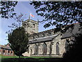
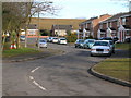
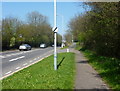
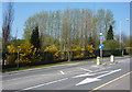
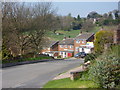
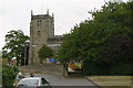
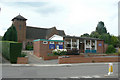
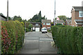
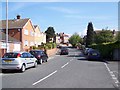
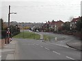
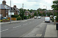

61 photos from this area
Area Information
Key information about the NG5 8HG including its size, population, and administrative classification.
- Area Type
- Postcode
- Area Size
- 4930 m²
- Population
- 1102
- Population Density
- 5203 people/km²
House Prices in NG5 8HG
15
Properties
£122,793
Average Sold Price
£57,000
Lowest Price
£233,000
Highest Price
Showing 15 properties
| Address | Type | Beds | Baths | Last Sale Price | Last Sale Date | |
|---|---|---|---|---|---|---|
| 4, Gails Court, Church Lane, Arnold, NG5 8HG | Maisonette | 2 | 1 | £127,600 | Nov 2023 | |
| 7 Church Lane, Arnold, NG5 8HG | house | - | - | £233,000 | Sep 2021 | |
| 2, Gails Court, Church Lane, Arnold, NG5 8HG | Flat | 2 | 1 | £75,000 | Apr 2018 | |
| 9 Church Lane, Arnold, NG5 8HG | house | - | - | £152,000 | Jul 2016 | |
| 1, Gails Court, Church Lane, Arnold, NG5 8HG | Flat | - | - | £86,000 | Feb 2016 | |
| 4A Church Lane, Arnold, NG5 8HG | Flat | - | - | £57,000 | Oct 2003 | |
| 11 Church Lane, Arnold, NG5 8HG | Detached | - | - | £128,950 | May 2003 | |
| 3 Church Lane, Arnold, NG5 8HG | Semi-detached | 3 | 1 | - | - | |
| 11A Church Lane, Arnold, NG5 8HG | Semi-detached | 3 | - | - | - | |
| 11B Church Lane, Arnold, NG5 8HG | house | - | - | - | - |
Page 1 of 2
Energy Efficiency in NG5 8HG
Amenities
Schools
| Rank | School | Type | Entry gender | Ages |
|---|
Explore more schools in this area
Go to Schools tabDemographics
Household Size
Two person
most common
Accommodation Type
Houses
most common
Tenure
68
majority
Ethnic Group
White
most common
Religion
N/A
most common
Household Composition
N/A
most common
Age
47
median
Adults (30-64 years)
most common
Household Deprivation
N/A
with no deprivation
NS-SEC
27
in Lower managerial occupations
Explore more demographic insights in this area
Go to Demographics tabPlanning
Planning Constraints
- Flood RiskPremium
- Ramsar Wetland SitesPremium
- Area of Outstanding Natural BeautyPremium
- Protected Nature ReservePremium
- Protected WoodlandPremium