Area Overview for NG5 7NJ
Photos of NG5 7NJ
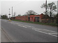
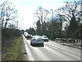
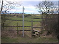
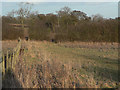
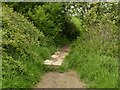
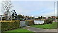
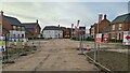
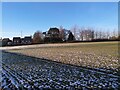
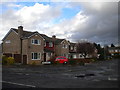
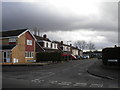
21 photos from this area
Area Information
Key information about the NG5 7NJ including its size, population, and administrative classification.
- Area Type
- Postcode
- Area Size
- 1.0 hectares
- Population
- 1509
- Population Density
- 5037 people/km²
House Prices in NG5 7NJ
84
Properties
£124,236
Average Sold Price
£64,397
Lowest Price
£400,000
Highest Price
Showing 84 properties
| Address | Type | Beds | Baths | Last Sale Price | Last Sale Date | |
|---|---|---|---|---|---|---|
| 158 Edison Way, Arnold, NG5 7NJ | Flat | 2 | 1 | £133,000 | Dec 2024 | |
| 94 Edison Way, Arnold, NG5 7NJ | Flat | - | - | £84,800 | Sep 2024 | |
| 160 Edison Way, Arnold, NG5 7NJ | Semi-detached | 3 | 2 | £230,000 | Sep 2024 | |
| 78 Edison Way, Arnold, NG5 7NJ | Flat | - | - | £89,000 | Aug 2024 | |
| 58 Edison Way, Arnold, NG5 7NJ | Flat | - | - | £140,000 | Jan 2024 | |
| 118 Edison Way, Arnold, NG5 7NJ | Flat | 2 | 1 | £120,000 | Jan 2024 | |
| 26 Edison Way, Arnold, NG5 7NJ | Flat | 2 | 1 | £104,000 | Nov 2023 | |
| 156 Edison Way, Arnold, NG5 7NJ | Flat | 2 | - | £135,000 | Nov 2023 | |
| 30 Edison Way, Arnold, NG5 7NJ | Flat | - | - | £128,500 | Aug 2023 | |
| 22 Edison Way, Arnold, NG5 7NJ | Flat | - | - | £121,500 | May 2023 |
Page 1 of 9
Energy Efficiency in NG5 7NJ
Amenities
Schools
| Rank | School | Type | Entry gender | Ages |
|---|
Explore more schools in this area
Go to Schools tabDemographics
Household Size
Two person
most common
Accommodation Type
Houses
most common
Tenure
71
majority
Ethnic Group
White
most common
Religion
N/A
most common
Household Composition
N/A
most common
Age
47
median
Adults (30-64 years)
most common
Household Deprivation
N/A
with no deprivation
NS-SEC
36
in Lower managerial occupations
Explore more demographic insights in this area
Go to Demographics tabPlanning
Planning Constraints
- Flood RiskPremium
- Ramsar Wetland SitesPremium
- Area of Outstanding Natural BeautyPremium
- Protected Nature ReservePremium
- Protected WoodlandPremium