Area Overview for NG5 7GL
Photos of NG5 7GL
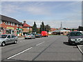
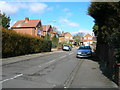
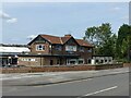
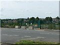
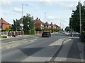
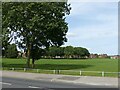
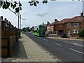
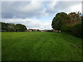
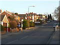
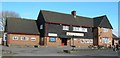
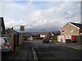
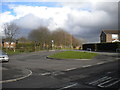
23 photos from this area
Area Information
Key information about the NG5 7GL including its size, population, and administrative classification.
- Area Type
- Postcode
- Area Size
- 1.9 hectares
- Population
- 1412
- Population Density
- 5418 people/km²
House Prices in NG5 7GL
39
Properties
£97,208
Average Sold Price
£37,000
Lowest Price
£220,000
Highest Price
Showing 39 properties
| Address | Type | Beds | Baths | Last Sale Price | Last Sale Date | |
|---|---|---|---|---|---|---|
| 62 Worrall Avenue, Arnold, NG5 7GL | Semi-detached | 3 | 1 | £220,000 | Apr 2024 | |
| 70 Worrall Avenue, Arnold, NG5 7GL | Terraced | 3 | 1 | £170,000 | Oct 2023 | |
| 93 Worrall Avenue, Arnold, NG5 7GL | Terraced | 3 | 1 | £139,000 | Sep 2020 | |
| 68 Worrall Avenue, Arnold, NG5 7GL | house | - | - | £58,000 | Apr 2015 | |
| 129 Worrall Avenue, Arnold, NG5 7GL | Semi-detached | 3 | 1 | £112,000 | Aug 2014 | |
| 141 Worrall Avenue, Arnold, NG5 7GL | house | 3 | - | £103,495 | Feb 2012 | |
| 74 Worrall Avenue, Arnold, NG5 7GL | Terraced | - | - | £139,950 | Jan 2008 | |
| 119 Worrall Avenue, Arnold, NG5 7GL | house | - | - | £75,500 | Aug 2007 | |
| 109A Worrall Avenue, Arnold, NG5 7GL | house | - | - | £153,500 | May 2007 | |
| 101 Worrall Avenue, Arnold, NG5 7GL | Terraced | - | - | £98,000 | Oct 2005 |
Page 1 of 4
Energy Efficiency in NG5 7GL
Amenities
Schools
| Rank | School | Type | Entry gender | Ages |
|---|
Explore more schools in this area
Go to Schools tabDemographics
Household Size
One person
most common
Accommodation Type
Houses
most common
Tenure
56
majority
Ethnic Group
White
most common
Religion
N/A
most common
Household Composition
N/A
most common
Age
47
median
Adults (30-64 years)
most common
Household Deprivation
N/A
with no deprivation
NS-SEC
22
in Lower managerial occupations
Explore more demographic insights in this area
Go to Demographics tabPlanning
Planning Constraints
- Flood RiskPremium
- Ramsar Wetland SitesPremium
- Area of Outstanding Natural BeautyPremium
- Protected Nature ReservePremium
- Protected WoodlandPremium