Area Overview for NG5 7AH
Photos of NG5 7AH
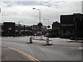
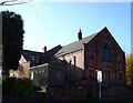
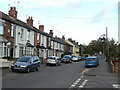
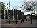
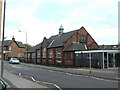
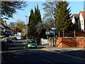
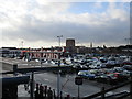
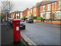
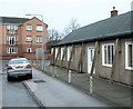
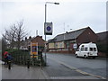
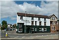
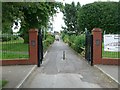
Area Information
Living in NG5 7AH means residing within a defined residential cluster that serves as a specific postcode area in England. This locality accommodates a population of 1412 people, creating a neighbourhood with a distinct identity shaped by its housing stock and demographic makeup. The environment here is one of established settlement, characterised by the specific layout of streets that contain this number of households. Despite being a small area, the sense of place is formed by the consistent presence of family homes and the quiet streets that define daily life for residents. You are part of a community where every address contributes to the overall character of this specific cluster. The area presents a straightforward residential setting where the focus remains on home and family rather than commercial density. For those seeking a settled environment, NG5 7AH offers a clear picture of what constitutes living here: a defined space with a known population and established boundaries.
- Area Type
- Postcode
- Area Size
- Not available
- Population
- 1412
- Population Density
- 5418 people/km²
You will find that the housing market in NG5 7AH is defined by traditional living arrangements where houses form the main accommodation type. With 56% of homes being owner-occupied, the area leans heavily towards residents who have purchased their properties rather than renting. This high level of ownership suggests a community where people have taken root and do not intend to move frequently. The scarcity of flats or apartments means that buyers looking at homes in NG5 7AH are almost exclusively searching for house purchases. For those seeking to buy in this postcode area, the availability of rental properties will be significantly limited compared to the volume of owner-occupied homes. The market reflects a settled neighbourhood where the primary transaction involves the sale of existing family houses rather than new builds or maisonettes.
House Prices in NG5 7AH
No properties found in this postcode.
Energy Efficiency in NG5 7AH
Your access to amenities in NG5 7AH extends beyond the immediate quiet of your street to nearby commercial and transport hubs. Shopping options are located close by, with Iceland Arnold, Asda Arnold, and Co-op Coppice representing the available retailers for groceries and daily essentials. These supermarkets are within practical reach, allowing you to run errands without needing to travel far. Transport links are equally developed, with five nearby tram stops including Basford Tram Stop, Moor Bridge Tram Stop, and David Lane Tram Stop. Rail connections are available through Bulwell Railway Station, Carlton Railway Station, and Netherfield Railway Station, offering easy access to wider Nottinghamshire. For air travel, Nottingham Airport is also within a reasonable distance if you need to fly domestically. This network of shops and stations supports a convenient lifestyle where daily needs are met without excessive travel time.
Amenities
Schools
| Rank | School | Type | Entry gender | Ages |
|---|
Explore more schools in this area
Go to Schools tabDemographics
The community structure in NG5 7AH is dominated by adults aged between 30 and 64 years, who form the most common age range within the population. This demographic profile aligns with a median age of 47 years, indicating a mature settlement where long-term residents and families play a central role in local life. Home ownership stands at 56%, reflecting a significant proportion of residents who have settled permanently rather than renting. Houses form the primary accommodation type, meaning the streetscape is defined by detached or semi-detached residences rather than high-density flats. The predominant ethnic group in the area is White, which shapes the cultural fabric of the neighbourhood. These statistics paint a picture of a stable, owner-occupied community where the housing stock caters primarily to established families and individuals seeking roots in a quiet setting.
Household Size
Accommodation Type
Tenure
Ethnic Group
Religion
Household Composition
Age
Household Deprivation
NS-SEC
Explore more demographic insights in this area
Go to Demographics tabPlanning
Planning Constraints
- Flood RiskPremium
- Ramsar Wetland SitesPremium
- Area of Outstanding Natural BeautyPremium
- Protected Nature ReservePremium
- Protected WoodlandPremium