Area Overview for NG5 6SD
Photos of NG5 6SD
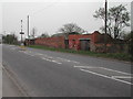
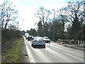
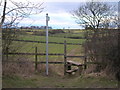
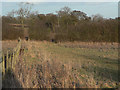
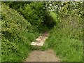
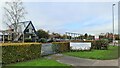
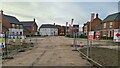
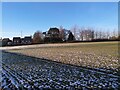
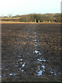
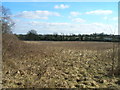
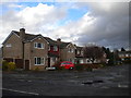
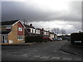
21 photos from this area
Area Information
Key information about the NG5 6SD including its size, population, and administrative classification.
- Area Type
- Postcode
- Area Size
- 1.8 hectares
- Population
- 1509
- Population Density
- 5037 people/km²
House Prices in NG5 6SD
24
Properties
£336,834
Average Sold Price
£48,000
Lowest Price
£615,000
Highest Price
Showing 24 properties
| Address | Type | Beds | Baths | Last Sale Price | Last Sale Date | |
|---|---|---|---|---|---|---|
| 130 Ramsey Drive, Arnold, NG5 6SD | house | - | - | £213,500 | Oct 2020 | |
| 156 Ramsey Drive, Arnold, NG5 6SD | Detached | 5 | - | £615,000 | Jul 2019 | |
| 152 Ramsey Drive, Arnold, NG5 6SD | Detached | - | - | £545,000 | Jul 2015 | |
| 164 Ramsey Drive, Arnold, NG5 6SD | house | - | - | £435,000 | Nov 2013 | |
| 160 Ramsey Drive, Arnold, NG5 6SD | Detached | - | - | £499,950 | Nov 2009 | |
| 154 Ramsey Drive, Arnold, NG5 6SD | Detached | 5 | 4 | £500,000 | Aug 2008 | |
| 158 Ramsey Drive, Arnold, NG5 6SD | Detached | 5 | - | £522,000 | Aug 2007 | |
| 132 Ramsey Drive, Arnold, NG5 6SD | Semi-detached | - | - | £137,000 | Nov 2006 | |
| 128 Ramsey Drive, Arnold, NG5 6SD | Semi-detached | - | - | £146,000 | Jul 2005 | |
| 140 Ramsey Drive, Arnold, NG5 6SD | Detached | - | - | £302,500 | Aug 2002 |
Page 1 of 3
Energy Efficiency in NG5 6SD
Amenities
Schools
| Rank | School | Type | Entry gender | Ages |
|---|
Explore more schools in this area
Go to Schools tabDemographics
Household Size
Two person
most common
Accommodation Type
Houses
most common
Tenure
71
majority
Ethnic Group
White
most common
Religion
N/A
most common
Household Composition
N/A
most common
Age
47
median
Adults (30-64 years)
most common
Household Deprivation
N/A
with no deprivation
NS-SEC
36
in Lower managerial occupations
Explore more demographic insights in this area
Go to Demographics tabPlanning
Planning Constraints
- Flood RiskPremium
- Ramsar Wetland SitesPremium
- Area of Outstanding Natural BeautyPremium
- Protected Nature ReservePremium
- Protected WoodlandPremium