Area Overview for NG5 3HW
Photos of NG5 3HW

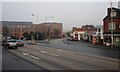
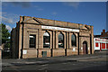
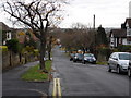
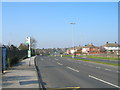

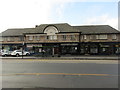
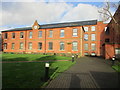
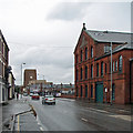
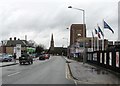
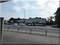
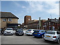
82 photos from this area
Area Information
Key information about the NG5 3HW including its size, population, and administrative classification.
- Area Type
- Postcode
- Area Size
- 1.2 hectares
- Population
- 1821
- Population Density
- 4464 people/km²
House Prices in NG5 3HW
20
Properties
£277,281
Average Sold Price
£77,500
Lowest Price
£420,000
Highest Price
Showing 20 properties
| Address | Type | Beds | Baths | Last Sale Price | Last Sale Date | |
|---|---|---|---|---|---|---|
| 130 Ribblesdale Road, Nottingham, NG5 3HW | Detached | 3 | 1 | £420,000 | Jun 2025 | |
| 156 Ribblesdale Road, Nottingham, NG5 3HW | Detached | 3 | 1 | £357,500 | Mar 2025 | |
| 105 Ribblesdale Road, Nottingham, NG5 3HW | Detached | 4 | 1 | £420,000 | Dec 2023 | |
| 113 Ribblesdale Road, Nottingham, NG5 3HW | Semi-detached | 3 | 1 | £330,000 | Aug 2022 | |
| 158 Ribblesdale Road, Nottingham, NG5 3HW | Detached | 5 | 2 | £286,000 | Aug 2022 | |
| 101 Ribblesdale Road, Nottingham, NG5 3HW | Detached | 4 | 1 | £400,000 | Jun 2020 | |
| 134 Ribblesdale Road, Nottingham, NG5 3HW | Bungalow | 2 | - | £235,000 | Feb 2020 | |
| 132 Ribblesdale Road, Nottingham, NG5 3HW | house | 3 | - | £285,000 | Oct 2019 | |
| 160 Ribblesdale Road, Nottingham, NG5 3HW | Detached | 4 | 1 | £327,000 | Oct 2019 | |
| 111 Ribblesdale Road, Nottingham, NG5 3HW | Semi-detached | 5 | - | £247,500 | Apr 2015 |
Page 1 of 2
Energy Efficiency in NG5 3HW
Amenities
Schools
| Rank | School | Type | Entry gender | Ages |
|---|
Explore more schools in this area
Go to Schools tabDemographics
Household Size
Family (3-5 people)
most common
Accommodation Type
Houses
most common
Tenure
71
majority
Ethnic Group
White
most common
Religion
N/A
most common
Household Composition
N/A
most common
Age
47
median
Adults (30-64 years)
most common
Household Deprivation
N/A
with no deprivation
NS-SEC
41
in Lower managerial occupations
Explore more demographic insights in this area
Go to Demographics tabPlanning
Planning Constraints
- Flood RiskPremium
- Ramsar Wetland SitesPremium
- Area of Outstanding Natural BeautyPremium
- Protected Nature ReservePremium
- Protected WoodlandPremium