Area Overview for NG5 1FW
Photos of NG5 1FW
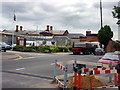
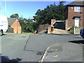
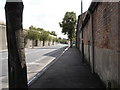
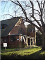
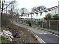
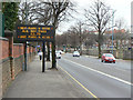

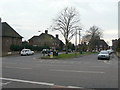
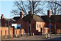
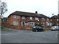
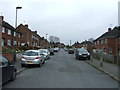
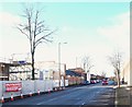
76 photos from this area
Area Information
Key information about the NG5 1FW including its size, population, and administrative classification.
- Area Type
- Postcode
- Area Size
- 1.5 hectares
- Population
- 2063
- Population Density
- 5942 people/km²
House Prices in NG5 1FW
14
Properties
£187,100
Average Sold Price
£84,000
Lowest Price
£320,000
Highest Price
Showing 14 properties
| Address | Type | Beds | Baths | Last Sale Price | Last Sale Date | |
|---|---|---|---|---|---|---|
| 397 Hucknall Road, Nottingham, NG5 1FW | Semi-detached | 3 | 1 | £285,000 | Feb 2024 | |
| 481 Hucknall Road, Nottingham, NG5 1FW | Detached | 4 | 1 | £320,000 | Nov 2023 | |
| 505A Hucknall Road, Nottingham, NG5 1FW | Flat | - | - | £207,000 | Dec 2020 | |
| 399 Hucknall Road, Nottingham, NG5 1FW | Semi-detached | 3 | 1 | £170,000 | Sep 2019 | |
| 489 Hucknall Road, Nottingham, NG5 1FW | house | 3 | - | £121,800 | Nov 2011 | |
| 487 Hucknall Road, Nottingham, NG5 1FW | Detached | - | - | £140,000 | Apr 2007 | |
| 479 Hucknall Road, Nottingham, NG5 1FW | Detached | - | - | £169,000 | May 2006 | |
| 485 Hucknall Road, Nottingham, NG5 1FW | Detached | 3 | - | £84,000 | Aug 2001 | |
| Flat Over, 503 Hucknall Road, Nottingham, NG5 1FW | Flat | - | - | - | - | |
| 501B Hucknall Road, Nottingham, NG5 1FW | Flat | - | - | - | - |
Page 1 of 2
Energy Efficiency in NG5 1FW
Amenities
Schools
| Rank | School | Type | Entry gender | Ages |
|---|
Explore more schools in this area
Go to Schools tabDemographics
Household Size
Two person
most common
Accommodation Type
Houses
most common
Tenure
74
majority
Ethnic Group
White
most common
Religion
N/A
most common
Household Composition
N/A
most common
Age
47
median
Adults (30-64 years)
most common
Household Deprivation
N/A
with no deprivation
NS-SEC
35
in Lower managerial occupations
Explore more demographic insights in this area
Go to Demographics tabPlanning
Planning Constraints
- Flood RiskPremium
- Ramsar Wetland SitesPremium
- Area of Outstanding Natural BeautyPremium
- Protected Nature ReservePremium
- Protected WoodlandPremium