Area Overview for NG4 3HE
Photos of NG4 3HE
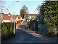
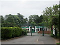
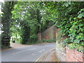
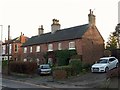
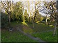
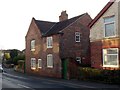
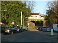

43 photos from this area
Area Information
Key information about the NG4 3HE including its size, population, and administrative classification.
- Area Type
- Postcode
- Area Size
- 4085 m²
- Population
- 1517
- Population Density
- 4522 people/km²
House Prices in NG4 3HE
14
Properties
£194,000
Average Sold Price
£46,000
Lowest Price
£355,000
Highest Price
Showing 14 properties
| Address | Type | Beds | Baths | Last Sale Price | Last Sale Date | |
|---|---|---|---|---|---|---|
| 110 Main Road, Gedling, NG4 3HE | Detached | 3 | 2 | £355,000 | Oct 2024 | |
| 104 Main Road, Gedling, NG4 3HE | Semi-detached | 3 | 1 | £210,000 | Nov 2018 | |
| 100 Main Road, Gedling, NG4 3HE | Detached | 3 | 1 | £229,000 | Sep 2017 | |
| 108 Main Road, Gedling, NG4 3HE | Detached | - | - | £130,000 | Mar 2007 | |
| 102 Main Road, Gedling, NG4 3HE | Semi-detached | - | - | £46,000 | Jun 1996 | |
| 96B Main Road, Gedling, NG4 3HE | Flat | 3 | 1 | - | - | |
| 98 Main Road, Gedling, NG4 3HE | Flat | 3 | - | - | - | |
| 96C Main Road, Gedling, NG4 3HE | Bungalow | - | - | - | - | |
| 98C Main Road, Gedling, NG4 3HE | Flat | - | - | - | - | |
| 98B Main Road, Gedling, NG4 3HE | Flat | - | - | - | - |
Page 1 of 2
Energy Efficiency in NG4 3HE
Amenities
Schools
| Rank | School | Type | Entry gender | Ages |
|---|
Explore more schools in this area
Go to Schools tabDemographics
Household Size
Two person
most common
Accommodation Type
Houses
most common
Tenure
70
majority
Ethnic Group
White
most common
Religion
N/A
most common
Household Composition
N/A
most common
Age
47
median
Adults (30-64 years)
most common
Household Deprivation
N/A
with no deprivation
NS-SEC
37
in Lower managerial occupations
Explore more demographic insights in this area
Go to Demographics tabPlanning
Planning Constraints
- Flood RiskPremium
- Ramsar Wetland SitesPremium
- Area of Outstanding Natural BeautyPremium
- Protected Nature ReservePremium
- Protected WoodlandPremium