Area Overview for NG4 2RD
Photos of NG4 2RD
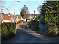
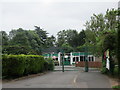
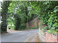
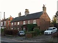
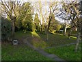
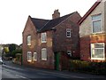
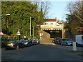

43 photos from this area
Area Information
Key information about the NG4 2RD including its size, population, and administrative classification.
- Area Type
- Postcode
- Area Size
- 1.4 hectares
- Population
- 1272
- Population Density
- 2684 people/km²
House Prices in NG4 2RD
29
Properties
£186,358
Average Sold Price
£83,000
Lowest Price
£370,000
Highest Price
Showing 29 properties
| Address | Type | Beds | Baths | Last Sale Price | Last Sale Date | |
|---|---|---|---|---|---|---|
| 26 Carisbrooke Avenue, Gedling, NG4 2RD | Retail | 2 | 1 | £293,000 | Feb 2022 | |
| 32 Carisbrooke Avenue, Gedling, NG4 2RD | Detached | 3 | 1 | £320,000 | Dec 2020 | |
| 12 Carisbrooke Avenue, Gedling, NG4 2RD | Detached | 4 | 2 | £370,000 | Oct 2019 | |
| 17 Carisbrooke Avenue, Gedling, NG4 2RD | house | 4 | - | £235,950 | May 2012 | |
| 8 Carisbrooke Avenue, Gedling, NG4 2RD | Bungalow | - | - | £173,000 | Jun 2009 | |
| 14 Carisbrooke Avenue, Gedling, NG4 2RD | Detached | - | - | £247,500 | Jun 2006 | |
| 28 Carisbrooke Avenue, Gedling, NG4 2RD | Detached | - | - | £190,000 | Apr 2004 | |
| 9 Carisbrooke Avenue, Gedling, NG4 2RD | Detached | - | - | £156,000 | Jul 2002 | |
| 6 Carisbrooke Avenue, Gedling, NG4 2RD | Detached | - | - | £139,950 | May 2001 | |
| 7 Carisbrooke Avenue, Gedling, NG4 2RD | Detached | - | - | £113,000 | Oct 2000 |
Page 1 of 3
Energy Efficiency in NG4 2RD
Amenities
Schools
| Rank | School | Type | Entry gender | Ages |
|---|
Explore more schools in this area
Go to Schools tabDemographics
Household Size
Two person
most common
Accommodation Type
Houses
most common
Tenure
84
majority
Ethnic Group
White
most common
Religion
N/A
most common
Household Composition
N/A
most common
Age
47
median
Adults (30-64 years)
most common
Household Deprivation
N/A
with no deprivation
NS-SEC
37
in Lower managerial occupations
Explore more demographic insights in this area
Go to Demographics tabPlanning
Planning Constraints
- Flood RiskPremium
- Ramsar Wetland SitesPremium
- Area of Outstanding Natural BeautyPremium
- Protected Nature ReservePremium
- Protected WoodlandPremium