Area Overview for NG4 2QX
Photos of NG4 2QX
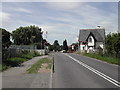
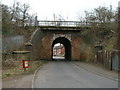
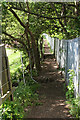
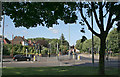
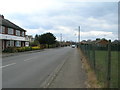
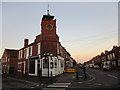
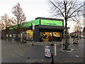
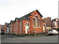
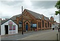
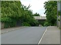
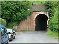
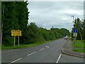
51 photos from this area
Area Information
Key information about the NG4 2QX including its size, population, and administrative classification.
- Area Type
- Postcode
- Area Size
- 4.5 hectares
- Population
- 1828
- Population Density
- 3762 people/km²
House Prices in NG4 2QX
13
Properties
£132,344
Average Sold Price
£48,000
Lowest Price
£220,000
Highest Price
Showing 13 properties
| Address | Type | Beds | Baths | Last Sale Price | Last Sale Date | |
|---|---|---|---|---|---|---|
| 12 William Close, Gedling, NG4 2QX | Semi-detached | 3 | 1 | £220,000 | Aug 2023 | |
| 3 William Close, Gedling, NG4 2QX | house | - | - | £205,000 | Nov 2021 | |
| 1 William Close, Gedling, NG4 2QX | house | - | - | £113,200 | Dec 2020 | |
| 7 William Close, Gedling, NG4 2QX | Semi-detached | - | - | £180,000 | Mar 2020 | |
| 4 William Close, Gedling, NG4 2QX | house | 3 | - | £130,000 | Apr 2012 | |
| 5 William Close, Gedling, NG4 2QX | house | - | - | £115,000 | Nov 2009 | |
| 8 William Close, Gedling, NG4 2QX | Semi-detached | - | - | £123,450 | Feb 2004 | |
| 10 William Close, Gedling, NG4 2QX | Semi-detached | - | - | £56,450 | Oct 1999 | |
| 2 William Close, Gedling, NG4 2QX | Semi-detached | - | - | £48,000 | Sep 1997 | |
| 6-8 William Close, Gedling, NG4 2QX | undefined | - | - | - | - |
Page 1 of 2
Energy Efficiency in NG4 2QX
Amenities
Schools
| Rank | School | Type | Entry gender | Ages |
|---|
Explore more schools in this area
Go to Schools tabDemographics
Household Size
One person
most common
Accommodation Type
Houses
most common
Tenure
56
majority
Ethnic Group
White
most common
Religion
N/A
most common
Household Composition
N/A
most common
Age
47
median
Adults (30-64 years)
most common
Household Deprivation
N/A
with no deprivation
NS-SEC
26
in Lower managerial occupations
Explore more demographic insights in this area
Go to Demographics tabPlanning
Planning Constraints
- Flood RiskPremium
- Ramsar Wetland SitesPremium
- Area of Outstanding Natural BeautyPremium
- Protected Nature ReservePremium
- Protected WoodlandPremium