Area Overview for NG4 2NN
Photos of NG4 2NN
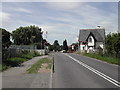
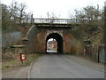
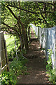
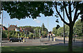
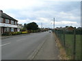
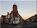
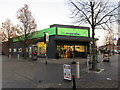
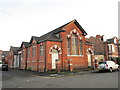
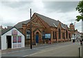
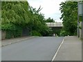
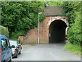
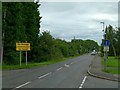
51 photos from this area
Area Information
Key information about the NG4 2NN including its size, population, and administrative classification.
- Area Type
- Postcode
- Area Size
- 1.1 hectares
- Population
- 1542
- Population Density
- 7439 people/km²
House Prices in NG4 2NN
22
Properties
£157,500
Average Sold Price
£110,000
Lowest Price
£230,000
Highest Price
Showing 22 properties
| Address | Type | Beds | Baths | Last Sale Price | Last Sale Date | |
|---|---|---|---|---|---|---|
| 69 Victoria Road, Netherfield, NG4 2NN | Terraced | 3 | 1 | £165,000 | Jun 2023 | |
| 77 Victoria Road, Netherfield, NG4 2NN | Maisonette | 4 | 2 | £110,000 | Sep 2022 | |
| 65 Victoria Road, Netherfield, NG4 2NN | Terraced | 3 | 1 | £167,500 | Apr 2021 | |
| First Floor Flat, 89 Victoria Road, Netherfield, NG4 2NN | Flat | - | - | £230,000 | Feb 2020 | |
| 71 Victoria Road, Netherfield, NG4 2NN | house | - | - | £115,000 | Oct 2018 | |
| 99 Victoria Road, Netherfield, NG4 2NN | Terraced | 2 | 1 | - | - | |
| 77A Victoria Road, Netherfield, NG4 2NN | Flat | 3 | 1 | - | - | |
| 67 Victoria Road, Netherfield, NG4 2NN | Terraced | 3 | - | - | - | |
| 99A Victoria Road, Netherfield, NG4 2NN | Flat | - | - | - | - | |
| Cctv Pole Adjacent To Curzon Street Junction, Victoria Road, Netherfield, NG4 2NN | commercial | - | - | - | - |
Page 1 of 3
Energy Efficiency in NG4 2NN
Amenities
Schools
| Rank | School | Type | Entry gender | Ages |
|---|
Explore more schools in this area
Go to Schools tabDemographics
Household Size
One person
most common
Accommodation Type
Houses
most common
Tenure
43
majority
Ethnic Group
White
most common
Religion
N/A
most common
Household Composition
N/A
most common
Age
47
median
Adults (30-64 years)
most common
Household Deprivation
N/A
with no deprivation
NS-SEC
25
in Lower managerial occupations
Explore more demographic insights in this area
Go to Demographics tabPlanning
Planning Constraints
- Flood RiskPremium
- Ramsar Wetland SitesPremium
- Area of Outstanding Natural BeautyPremium
- Protected Nature ReservePremium
- Protected WoodlandPremium