Area Overview for NG4 1GU
Photos of NG4 1GU
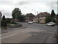
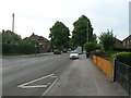
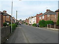
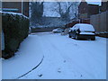
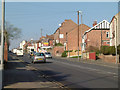
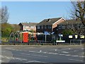
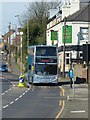
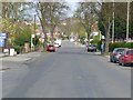
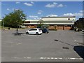
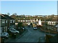
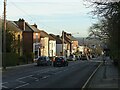
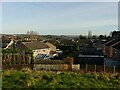
50 photos from this area
Area Information
Key information about the NG4 1GU including its size, population, and administrative classification.
- Area Type
- Postcode
- Area Size
- 1.2 hectares
- Population
- 1319
- Population Density
- 5448 people/km²
House Prices in NG4 1GU
32
Properties
£115,776
Average Sold Price
£27,000
Lowest Price
£181,000
Highest Price
Showing 32 properties
| Address | Type | Beds | Baths | Last Sale Price | Last Sale Date | |
|---|---|---|---|---|---|---|
| 17 Dale Avenue, Carlton, NG4 1GU | Terraced | 3 | 1 | £170,000 | May 2025 | |
| 21 Dale Avenue, Carlton, NG4 1GU | Terraced | 2 | 1 | £175,000 | Jan 2025 | |
| 33 Dale Avenue, Carlton, NG4 1GU | Terraced | 3 | 1 | £181,000 | Jun 2024 | |
| 7 Dale Avenue, Carlton, NG4 1GU | Terraced | 3 | 1 | £116,000 | Feb 2019 | |
| 39 Dale Avenue, Carlton, NG4 1GU | Terraced | 3 | 1 | £127,500 | Dec 2018 | |
| 5 Dale Avenue, Carlton, NG4 1GU | Terraced | 3 | 1 | £140,000 | Dec 2018 | |
| 15 Dale Avenue, Carlton, NG4 1GU | Semi-detached | 3 | 1 | £111,000 | Mar 2018 | |
| 45 Dale Avenue, Carlton, NG4 1GU | house | - | - | £89,300 | Nov 2013 | |
| 9 Dale Avenue, Carlton, NG4 1GU | house | 3 | - | £105,000 | Jun 2013 | |
| 47 Dale Avenue, Carlton, NG4 1GU | house | - | - | £104,950 | Oct 2012 |
Page 1 of 4
Energy Efficiency in NG4 1GU
Amenities
Schools
| Rank | School | Type | Entry gender | Ages |
|---|
Explore more schools in this area
Go to Schools tabDemographics
Household Size
Two person
most common
Accommodation Type
Houses
most common
Tenure
62
majority
Ethnic Group
White
most common
Religion
N/A
most common
Household Composition
N/A
most common
Age
47
median
Adults (30-64 years)
most common
Household Deprivation
N/A
with no deprivation
NS-SEC
26
in Lower managerial occupations
Explore more demographic insights in this area
Go to Demographics tabPlanning
Planning Constraints
- Flood RiskPremium
- Ramsar Wetland SitesPremium
- Area of Outstanding Natural BeautyPremium
- Protected Nature ReservePremium
- Protected WoodlandPremium