Area Overview for NG4 1AF
Photos of NG4 1AF
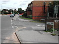
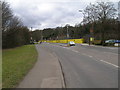
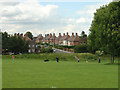
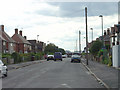

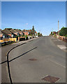
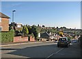
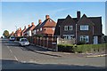
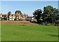
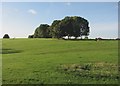
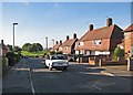
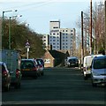
73 photos from this area
Area Information
Key information about the NG4 1AF including its size, population, and administrative classification.
- Area Type
- Postcode
- Area Size
- 1.1 hectares
- Population
- 1266
- Population Density
- 4144 people/km²
House Prices in NG4 1AF
24
Properties
£166,803
Average Sold Price
£57,500
Lowest Price
£272,500
Highest Price
Showing 24 properties
| Address | Type | Beds | Baths | Last Sale Price | Last Sale Date | |
|---|---|---|---|---|---|---|
| 14 Avondale Road, Carlton, NG4 1AF | Semi-detached | 3 | 1 | £237,000 | Dec 2024 | |
| 42 Avondale Road, Carlton, NG4 1AF | house | - | - | £220,000 | Apr 2024 | |
| 6 Avondale Road, Carlton, NG4 1AF | house | - | - | £245,000 | Mar 2022 | |
| 22 Avondale Road, Carlton, NG4 1AF | Detached | 3 | 1 | £256,000 | Nov 2019 | |
| 40 Avondale Road, Carlton, NG4 1AF | Detached | 3 | 1 | £238,000 | Sep 2019 | |
| 20 Avondale Road, Carlton, NG4 1AF | Detached | 5 | 2 | £272,500 | Nov 2018 | |
| 38 Avondale Road, Carlton, NG4 1AF | Detached | 3 | 1 | £200,000 | Apr 2018 | |
| 16 Avondale Road, Carlton, NG4 1AF | Semi-detached | 3 | 1 | £162,000 | Dec 2017 | |
| 46 Avondale Road, Carlton, NG4 1AF | house | 3 | 1 | £110,000 | Jul 2016 | |
| 32 Avondale Road, Carlton, NG4 1AF | Detached | 3 | - | £158,500 | Jul 2014 |
Page 1 of 3
Energy Efficiency in NG4 1AF
Amenities
Schools
| Rank | School | Type | Entry gender | Ages |
|---|
Explore more schools in this area
Go to Schools tabDemographics
Household Size
Two person
most common
Accommodation Type
Houses
most common
Tenure
91
majority
Ethnic Group
White
most common
Religion
N/A
most common
Household Composition
N/A
most common
Age
47
median
Adults (30-64 years)
most common
Household Deprivation
N/A
with no deprivation
NS-SEC
34
in Lower managerial occupations
Explore more demographic insights in this area
Go to Demographics tabPlanning
Planning Constraints
- Flood RiskPremium
- Ramsar Wetland SitesPremium
- Area of Outstanding Natural BeautyPremium
- Protected Nature ReservePremium
- Protected WoodlandPremium