Area Overview for NG34 8BU
Photos of NG34 8BU
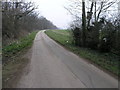
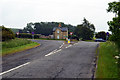
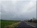
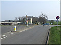

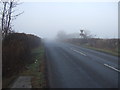
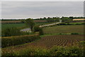
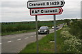
12 photos from this area
Area Information
Key information about the NG34 8BU including its size, population, and administrative classification.
- Area Type
- Postcode
- Area Size
- 47.8 hectares
- Population
- 1470
- Population Density
- 45 people/km²
House Prices in NG34 8BU
22
Properties
£222,688
Average Sold Price
£85,000
Lowest Price
£412,000
Highest Price
Showing 22 properties
| Address | Type | Beds | Baths | Last Sale Price | Last Sale Date | |
|---|---|---|---|---|---|---|
| Rowan Garth, 47 Sleaford Road, Cranwell, Sleaford, NG34 8BU | Bungalow | 3 | 2 | £412,000 | May 2024 | |
| 21 Sleaford Road, Cranwell, Sleaford, NG34 8BU | Bungalow | 4 | 2 | £325,000 | Mar 2022 | |
| New Bungalow, 43 Sleaford Road, Cranwell, Sleaford, NG34 8BU | Bungalow | 4 | 1 | £318,500 | Nov 2020 | |
| 49 Sleaford Road, Cranwell, Sleaford, NG34 8BU | Bungalow | - | - | £335,000 | Dec 2019 | |
| 45 Sleaford Road, Cranwell, Sleaford, NG34 8BU | Bungalow | 3 | 1 | £165,000 | Jul 2019 | |
| 39 Sleaford Road, Cranwell, Sleaford, NG34 8BU | Bungalow | 3 | 1 | £127,000 | Jun 2013 | |
| 19 Sleaford Road, Cranwell, Sleaford, NG34 8BU | Bungalow | 3 | - | £150,000 | Jul 2012 | |
| Sallymar, 37 Sleaford Road, Cranwell, Sleaford, NG34 8BU | Detached | - | - | £125,000 | Mar 2009 | |
| Leadon Lodge, Sleaford Road, Cranwell, Sleaford, NG34 8BU | Bungalow | - | - | £277,500 | Sep 2008 | |
| 35 Sleaford Road, Cranwell, Sleaford, NG34 8BU | Detached | - | - | £189,950 | Sep 2007 |
Page 1 of 3
Energy Efficiency in NG34 8BU
Amenities
Schools
| Rank | School | Type | Entry gender | Ages |
|---|
Explore more schools in this area
Go to Schools tabDemographics
Household Size
Two person
most common
Accommodation Type
Houses
most common
Tenure
76
majority
Ethnic Group
White
most common
Religion
N/A
most common
Household Composition
N/A
most common
Age
47
median
Adults (30-64 years)
most common
Household Deprivation
N/A
with no deprivation
NS-SEC
34
in Lower managerial occupations
Explore more demographic insights in this area
Go to Demographics tabPlanning
Planning Constraints
- Flood RiskPremium
- Ramsar Wetland SitesPremium
- Area of Outstanding Natural BeautyPremium
- Protected Nature ReservePremium
- Protected WoodlandPremium