Area Overview for NG32 1ET
Photos of NG32 1ET
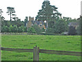
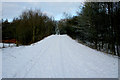
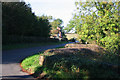
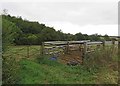
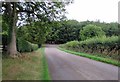
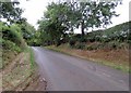
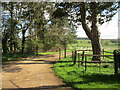
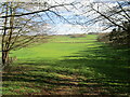
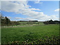
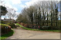
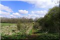

28 photos from this area
Area Information
Key information about the NG32 1ET including its size, population, and administrative classification.
- Area Type
- Postcode
- Area Size
- 1.9 km²
- Population
- 1820
- Population Density
- 24 people/km²
House Prices in NG32 1ET
11
Properties
£503,125
Average Sold Price
£155,000
Lowest Price
£1,405,000
Highest Price
Showing 11 properties
| Address | Type | Beds | Baths | Last Sale Price | Last Sale Date | |
|---|---|---|---|---|---|---|
| Punchards, Branston Road, Eaton, NG32 1ET | house | 6 | 4 | £1,405,000 | Jun 2021 | |
| 2, Eaton Grange Cottages, Branston Road, Eaton, NG32 1ET | house | 2 | - | £222,500 | Apr 2018 | |
| 3, Eaton Grange Cottages, Branston Road, Eaton, NG32 1ET | house | 2 | - | £155,000 | Apr 2012 | |
| 1, Eaton Grange Cottages, Branston Road, Eaton, NG32 1ET | house | 3 | - | £230,000 | May 2011 | |
| Eaton Grange, Branston Road, Eaton, NG32 1ET | Detached | 8 | 5 | - | - | |
| Top Farm, Green Lane, Croxton Kerrial, NG32 1ET | Detached | 5 | - | - | - | |
| Flat 1, The Granary, Branston Road, Eaton, NG32 1ET | Flat | - | - | - | - | |
| The Granary, Branston Road, Eaton, NG32 1ET | house | - | - | - | - | |
| The Stable Flat, Eaton Grange, Branston Road, Eaton, NG32 1ET | Flat | - | - | - | - | |
| Bottom Farm, Branston Road, Eaton, NG32 1ET | house | - | - | - | - |
Page 1 of 2
Energy Efficiency in NG32 1ET
Amenities
Schools
| Rank | School | Type | Entry gender | Ages |
|---|
Explore more schools in this area
Go to Schools tabDemographics
Household Size
Two person
most common
Accommodation Type
Houses
most common
Tenure
65
majority
Ethnic Group
White
most common
Religion
N/A
most common
Household Composition
N/A
most common
Age
47
median
Adults (30-64 years)
most common
Household Deprivation
N/A
with no deprivation
NS-SEC
41
in Lower managerial occupations
Explore more demographic insights in this area
Go to Demographics tabPlanning
Planning Constraints
- Flood RiskPremium
- Ramsar Wetland SitesPremium
- Area of Outstanding Natural BeautyPremium
- Protected Nature ReservePremium
- Protected WoodlandPremium