Area Overview for NG32 1BJ
Photos of NG32 1BJ
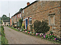
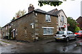
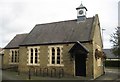
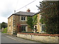
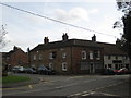
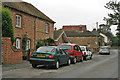
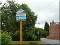
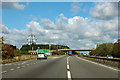
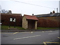
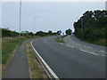
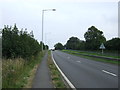
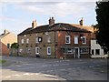
39 photos from this area
Area Information
Key information about the NG32 1BJ including its size, population, and administrative classification.
- Area Type
- Postcode
- Area Size
- 3.3 hectares
- Population
- 2041
- Population Density
- 142 people/km²
House Prices in NG32 1BJ
26
Properties
£196,692
Average Sold Price
£57,000
Lowest Price
£423,000
Highest Price
Showing 26 properties
| Address | Type | Beds | Baths | Last Sale Price | Last Sale Date | |
|---|---|---|---|---|---|---|
| 41 High Road, Barrowby, NG32 1BJ | house | - | - | £260,000 | Jan 2025 | |
| 39 High Road, Barrowby, NG32 1BJ | house | - | - | £250,000 | Jun 2022 | |
| 29 High Road, Barrowby, NG32 1BJ | Detached | 5 | 3 | £423,000 | Mar 2020 | |
| 43 High Road, Barrowby, NG32 1BJ | Detached | 4 | - | £230,000 | Mar 2017 | |
| Algra, 27 High Road, Barrowby, NG32 1BJ | Bungalow | - | - | £285,000 | Jan 2016 | |
| 37 High Road, Barrowby, NG32 1BJ | Detached | 3 | - | £178,000 | Aug 2013 | |
| 63 High Road, Barrowby, NG32 1BJ | house | 3 | - | £116,000 | Apr 2011 | |
| 33 High Road, Barrowby, NG32 1BJ | Detached | 5 | 2 | £315,000 | Aug 2007 | |
| 65 High Road, Barrowby, NG32 1BJ | Detached | - | - | £147,000 | Apr 2007 | |
| Tanglewood, 45 High Road, Barrowby, NG32 1BJ | Detached | - | - | £170,000 | Mar 2006 |
Page 1 of 3
Energy Efficiency in NG32 1BJ
Amenities
Schools
| Rank | School | Type | Entry gender | Ages |
|---|
Explore more schools in this area
Go to Schools tabDemographics
Household Size
Two person
most common
Accommodation Type
Houses
most common
Tenure
82
majority
Ethnic Group
White
most common
Religion
N/A
most common
Household Composition
N/A
most common
Age
47
median
Adults (30-64 years)
most common
Household Deprivation
N/A
with no deprivation
NS-SEC
38
in Lower managerial occupations
Explore more demographic insights in this area
Go to Demographics tabPlanning
Planning Constraints
- Flood RiskPremium
- Ramsar Wetland SitesPremium
- Area of Outstanding Natural BeautyPremium
- Protected Nature ReservePremium
- Protected WoodlandPremium