Area Overview for NG31 9RJ
Photos of NG31 9RJ
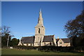
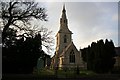
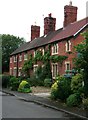
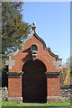
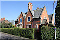
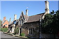
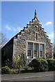
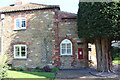
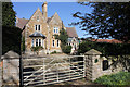

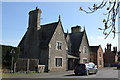
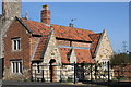
100 photos from this area
Area Information
Key information about the NG31 9RJ including its size, population, and administrative classification.
- Area Type
- Postcode
- Area Size
- 8627 m²
- Population
- 1405
- Population Density
- 3504 people/km²
House Prices in NG31 9RJ
27
Properties
£113,846
Average Sold Price
£36,000
Lowest Price
£210,000
Highest Price
Showing 27 properties
| Address | Type | Beds | Baths | Last Sale Price | Last Sale Date | |
|---|---|---|---|---|---|---|
| 46 Melbourne Road, Grantham, NG31 9RJ | Semi-detached | 3 | 1 | £163,500 | Jul 2025 | |
| 36 Melbourne Road, Grantham, NG31 9RJ | Semi-detached | 3 | 1 | £210,000 | Jan 2025 | |
| 26 Melbourne Road, Grantham, NG31 9RJ | Semi-detached | 3 | 1 | £190,000 | Nov 2024 | |
| 12 Melbourne Road, Grantham, NG31 9RJ | Retail | 3 | 1 | £174,000 | Jun 2022 | |
| 4 Melbourne Road, Grantham, NG31 9RJ | Semi-detached | 3 | - | £120,000 | Jul 2019 | |
| 22 Melbourne Road, Grantham, NG31 9RJ | Semi-detached | 3 | 1 | £123,000 | May 2016 | |
| 10 Melbourne Road, Grantham, NG31 9RJ | Terraced | 3 | 1 | £110,000 | Mar 2016 | |
| 14 Melbourne Road, Grantham, NG31 9RJ | Semi-detached | - | - | £106,500 | Dec 2006 | |
| 18 Melbourne Road, Grantham, NG31 9RJ | Semi-detached | - | - | £113,000 | Nov 2006 | |
| 54 Melbourne Road, Grantham, NG31 9RJ | house | - | - | £46,000 | Aug 2004 |
Page 1 of 3
Energy Efficiency in NG31 9RJ
Amenities
Schools
| Rank | School | Type | Entry gender | Ages |
|---|
Explore more schools in this area
Go to Schools tabDemographics
Household Size
Two person
most common
Accommodation Type
Houses
most common
Tenure
62
majority
Ethnic Group
White
most common
Religion
N/A
most common
Household Composition
N/A
most common
Age
47
median
Adults (30-64 years)
most common
Household Deprivation
N/A
with no deprivation
NS-SEC
25
in Lower managerial occupations
Explore more demographic insights in this area
Go to Demographics tabPlanning
Planning Constraints
- Flood RiskPremium
- Ramsar Wetland SitesPremium
- Area of Outstanding Natural BeautyPremium
- Protected Nature ReservePremium
- Protected WoodlandPremium