Area Overview for NG31 9PE
Photos of NG31 9PE
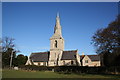
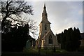
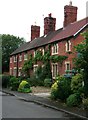
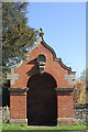
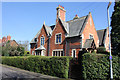
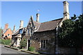
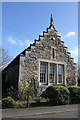
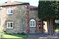
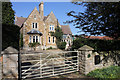

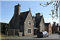
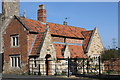
101 photos from this area
Area Information
Key information about the NG31 9PE including its size, population, and administrative classification.
- Area Type
- Postcode
- Area Size
- 2.6 hectares
- Population
- 1601
- Population Density
- 3318 people/km²
House Prices in NG31 9PE
49
Properties
£210,909
Average Sold Price
£76,000
Lowest Price
£375,000
Highest Price
Showing 49 properties
| Address | Type | Beds | Baths | Last Sale Price | Last Sale Date | |
|---|---|---|---|---|---|---|
| 35 St Andrews, Grantham, NG31 9PE | house | 4 | 2 | £375,000 | Sep 2024 | |
| 54 St Andrews, Grantham, NG31 9PE | Detached | 4 | 2 | £312,000 | Jul 2024 | |
| 18 St Andrews, Grantham, NG31 9PE | Detached | 4 | 3 | £369,000 | Sep 2023 | |
| 60 St Andrews, Grantham, NG31 9PE | Retail | 4 | 2 | £358,000 | Jul 2023 | |
| 11 St Andrews, Grantham, NG31 9PE | Detached | 4 | 2 | £330,000 | May 2023 | |
| 46 St Andrews, Grantham, NG31 9PE | Detached | 4 | 1 | £315,000 | Jan 2023 | |
| 2 St Andrews, Grantham, NG31 9PE | Detached | 4 | - | £361,000 | May 2022 | |
| 20 St Andrews, Grantham, NG31 9PE | Detached | 4 | 1 | £249,700 | Oct 2020 | |
| 17 St Andrews, Grantham, NG31 9PE | Detached | 5 | 1 | £250,000 | Sep 2020 | |
| 28 St Andrews, Grantham, NG31 9PE | Detached | 3 | 2 | £210,000 | Oct 2019 |
Page 1 of 5
Energy Efficiency in NG31 9PE
Amenities
Schools
| Rank | School | Type | Entry gender | Ages |
|---|
Explore more schools in this area
Go to Schools tabDemographics
Household Size
Family (3-5 people)
most common
Accommodation Type
Houses
most common
Tenure
78
majority
Ethnic Group
White
most common
Religion
N/A
most common
Household Composition
N/A
most common
Age
47
median
Adults (30-64 years)
most common
Household Deprivation
N/A
with no deprivation
NS-SEC
38
in Lower managerial occupations
Explore more demographic insights in this area
Go to Demographics tabPlanning
Planning Constraints
- Flood RiskPremium
- Ramsar Wetland SitesPremium
- Area of Outstanding Natural BeautyPremium
- Protected Nature ReservePremium
- Protected WoodlandPremium