Area Overview for NG31 8UU
Photos of NG31 8UU
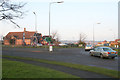
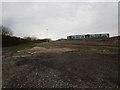
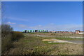
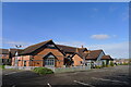
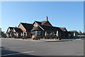
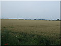
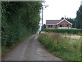
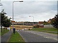
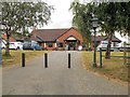


13 photos from this area
Area Information
Key information about the NG31 8UU including its size, population, and administrative classification.
- Area Type
- Postcode
- Area Size
- 6789 m²
- Population
- 1394
- Population Density
- 3897 people/km²
House Prices in NG31 8UU
19
Properties
£202,077
Average Sold Price
£132,995
Lowest Price
£299,995
Highest Price
Showing 19 properties
| Address | Type | Beds | Baths | Last Sale Price | Last Sale Date | |
|---|---|---|---|---|---|---|
| 20 Tamworth Close, Grantham, NG31 8UU | Terraced | 2 | 1 | £185,000 | Oct 2025 | |
| 14 Tamworth Close, Grantham, NG31 8UU | house | 3 | 2 | £255,000 | Jul 2025 | |
| 26 Tamworth Close, Grantham, NG31 8UU | Semi-detached | 3 | 2 | £234,000 | Jul 2024 | |
| 12 Tamworth Close, Grantham, NG31 8UU | Semi-detached | 3 | 2 | £216,000 | Feb 2021 | |
| 4 Tamworth Close, Grantham, NG31 8UU | Semi-detached | 3 | 2 | £215,000 | Jan 2021 | |
| 7 Tamworth Close, Grantham, NG31 8UU | Terraced | 3 | 1 | £188,000 | Oct 2020 | |
| 18 Tamworth Close, Grantham, NG31 8UU | Terraced | 2 | 1 | £155,000 | May 2020 | |
| 10 Tamworth Close, Grantham, NG31 8UU | Semi-detached | 3 | 2 | £194,000 | Apr 2019 | |
| 24 Tamworth Close, Grantham, NG31 8UU | Semi-detached | 3 | 2 | £208,000 | Nov 2018 | |
| 11 Tamworth Close, Grantham, NG31 8UU | house | - | - | £196,000 | Aug 2018 |
Page 1 of 2
Energy Efficiency in NG31 8UU
Amenities
Schools
| Rank | School | Type | Entry gender | Ages |
|---|
Explore more schools in this area
Go to Schools tabDemographics
Household Size
Two person
most common
Accommodation Type
Houses
most common
Tenure
86
majority
Ethnic Group
White
most common
Religion
N/A
most common
Household Composition
N/A
most common
Age
47
median
Adults (30-64 years)
most common
Household Deprivation
N/A
with no deprivation
NS-SEC
36
in Lower managerial occupations
Explore more demographic insights in this area
Go to Demographics tabPlanning
Planning Constraints
- Flood RiskPremium
- Ramsar Wetland SitesPremium
- Area of Outstanding Natural BeautyPremium
- Protected Nature ReservePremium
- Protected WoodlandPremium