Area Overview for NG31 8BU
Photos of NG31 8BU
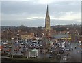
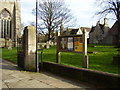
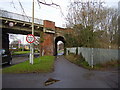
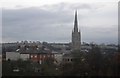
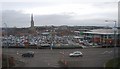
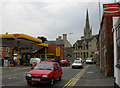
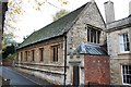
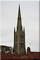
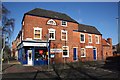
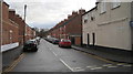
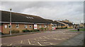
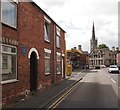
100 photos from this area
Area Information
Key information about the NG31 8BU including its size, population, and administrative classification.
- Area Type
- Postcode
- Area Size
- 1.5 hectares
- Population
- 1801
- Population Density
- 1568 people/km²
House Prices in NG31 8BU
22
Properties
£104,211
Average Sold Price
£18,250
Lowest Price
£285,000
Highest Price
Showing 22 properties
| Address | Type | Beds | Baths | Last Sale Price | Last Sale Date | |
|---|---|---|---|---|---|---|
| 39 Redcross Street, Grantham, NG31 8BU | Terraced | 4 | 1 | £285,000 | Nov 2024 | |
| 46 Redcross Street, Grantham, NG31 8BU | house | - | - | £135,000 | Apr 2023 | |
| 52 Redcross Street, Grantham, NG31 8BU | Terraced | 4 | 1 | £209,000 | Jul 2022 | |
| 54 Redcross Street, Grantham, NG31 8BU | house | - | - | £135,000 | Nov 2021 | |
| 58 Redcross Street, Grantham, NG31 8BU | Terraced | 3 | - | £145,000 | Mar 2021 | |
| 57 Redcross Street, Grantham, NG31 8BU | house | - | - | £90,000 | Jan 2017 | |
| 45 Redcross Street, Grantham, NG31 8BU | house | - | - | £95,000 | Aug 2016 | |
| 40 Redcross Street, Grantham, NG31 8BU | Terraced | 2 | 2 | £115,000 | Aug 2015 | |
| 43 Redcross Street, Grantham, NG31 8BU | house | - | - | £105,000 | Nov 2014 | |
| 47 Redcross Street, Grantham, NG31 8BU | Terraced | 2 | - | £98,000 | Apr 2013 |
Page 1 of 3
Energy Efficiency in NG31 8BU
Amenities
Schools
| Rank | School | Type | Entry gender | Ages |
|---|
Explore more schools in this area
Go to Schools tabDemographics
Household Size
Two person
most common
Accommodation Type
Houses
most common
Tenure
65
majority
Ethnic Group
White
most common
Religion
N/A
most common
Household Composition
N/A
most common
Age
47
median
Adults (30-64 years)
most common
Household Deprivation
N/A
with no deprivation
NS-SEC
26
in Lower managerial occupations
Explore more demographic insights in this area
Go to Demographics tabPlanning
Planning Constraints
- Flood RiskPremium
- Ramsar Wetland SitesPremium
- Area of Outstanding Natural BeautyPremium
- Protected Nature ReservePremium
- Protected WoodlandPremium