Area Overview for NG31 8BS
Photos of NG31 8BS
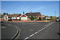
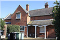
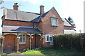
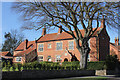
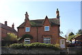
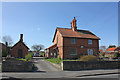
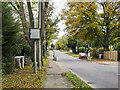
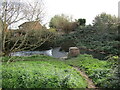
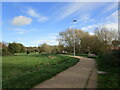
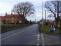
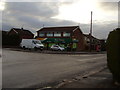
23 photos from this area
Area Information
Key information about the NG31 8BS including its size, population, and administrative classification.
- Area Type
- Postcode
- Area Size
- 1.4 hectares
- Population
- 1123
- Population Density
- 3343 people/km²
House Prices in NG31 8BS
25
Properties
£152,000
Average Sold Price
£52,500
Lowest Price
£270,000
Highest Price
Showing 25 properties
| Address | Type | Beds | Baths | Last Sale Price | Last Sale Date | |
|---|---|---|---|---|---|---|
| 23 Ravendale Close, Grantham, NG31 8BS | Detached | 4 | 1 | £265,000 | Oct 2024 | |
| 22 Ravendale Close, Grantham, NG31 8BS | Detached | 3 | 2 | £270,000 | Nov 2021 | |
| 15 Ravendale Close, Grantham, NG31 8BS | Detached | 3 | 1 | £204,000 | Jul 2017 | |
| 17 Ravendale Close, Grantham, NG31 8BS | house | - | - | £165,000 | Apr 2017 | |
| 16 Ravendale Close, Grantham, NG31 8BS | house | - | - | £205,000 | May 2015 | |
| 10 Ravendale Close, Grantham, NG31 8BS | Bungalow | 2 | - | £147,500 | Nov 2014 | |
| 28 Ravendale Close, Grantham, NG31 8BS | house | - | - | £210,000 | Nov 2009 | |
| 14 Ravendale Close, Grantham, NG31 8BS | Detached | - | - | £150,000 | Jun 2007 | |
| 3 Ravendale Close, Grantham, NG31 8BS | Detached | - | - | £95,995 | Jun 2001 | |
| 26 Ravendale Close, Grantham, NG31 8BS | Detached | - | - | £71,000 | Jun 1998 |
Page 1 of 3
Energy Efficiency in NG31 8BS
Amenities
Schools
| Rank | School | Type | Entry gender | Ages |
|---|
Explore more schools in this area
Go to Schools tabDemographics
Household Size
Two person
most common
Accommodation Type
Houses
most common
Tenure
91
majority
Ethnic Group
White
most common
Religion
N/A
most common
Household Composition
N/A
most common
Age
47
median
Adults (30-64 years)
most common
Household Deprivation
N/A
with no deprivation
NS-SEC
39
in Lower managerial occupations
Explore more demographic insights in this area
Go to Demographics tabPlanning
Planning Constraints
- Flood RiskPremium
- Ramsar Wetland SitesPremium
- Area of Outstanding Natural BeautyPremium
- Protected Nature ReservePremium
- Protected WoodlandPremium