Area Overview for NG31 7ET
Photos of NG31 7ET
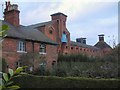
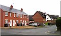
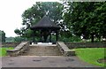
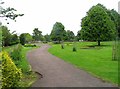
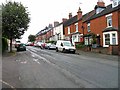
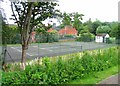
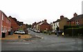
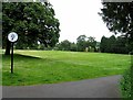
78 photos from this area
Area Information
Key information about the NG31 7ET including its size, population, and administrative classification.
- Area Type
- Postcode
- Area Size
- 1.2 hectares
- Population
- 1491
- Population Density
- 1728 people/km²
House Prices in NG31 7ET
44
Properties
£124,969
Average Sold Price
£28,500
Lowest Price
£390,000
Highest Price
Showing 44 properties
| Address | Type | Beds | Baths | Last Sale Price | Last Sale Date | |
|---|---|---|---|---|---|---|
| 140 Bridge End Road, Grantham, NG31 7ET | house | - | - | £112,500 | Jun 2024 | |
| 136 Bridge End Road, Grantham, NG31 7ET | Terraced | 3 | 2 | £125,000 | Feb 2023 | |
| 178 Bridge End Road, Grantham, NG31 7ET | house | 5 | 2 | £390,000 | Nov 2022 | |
| 134 Bridge End Road, Grantham, NG31 7ET | Terraced | 2 | 1 | £115,000 | Sep 2022 | |
| 146 Bridge End Road, Grantham, NG31 7ET | house | 3 | 1 | £140,000 | Jul 2022 | |
| 148 Bridge End Road, Grantham, NG31 7ET | Terraced | 2 | 1 | £106,000 | Nov 2021 | |
| 112 Bridge End Road, Grantham, NG31 7ET | house | - | - | £109,000 | Aug 2021 | |
| 110 Bridge End Road, Grantham, NG31 7ET | house | - | - | £140,000 | Jun 2021 | |
| 150 Bridge End Road, Grantham, NG31 7ET | house | 3 | 2 | £100,000 | Mar 2021 | |
| 102 Bridge End Road, Grantham, NG31 7ET | Terraced | 2 | 1 | £137,000 | Sep 2020 |
Page 1 of 5
Energy Efficiency in NG31 7ET
Amenities
Schools
| Rank | School | Type | Entry gender | Ages |
|---|
Explore more schools in this area
Go to Schools tabDemographics
Household Size
Two person
most common
Accommodation Type
Houses
most common
Tenure
61
majority
Ethnic Group
White
most common
Religion
N/A
most common
Household Composition
N/A
most common
Age
47
median
Adults (30-64 years)
most common
Household Deprivation
N/A
with no deprivation
NS-SEC
27
in Lower managerial occupations
Explore more demographic insights in this area
Go to Demographics tabPlanning
Planning Constraints
- Flood RiskPremium
- Ramsar Wetland SitesPremium
- Area of Outstanding Natural BeautyPremium
- Protected Nature ReservePremium
- Protected WoodlandPremium