Area Overview for NG31 6QL
Photos of NG31 6QL
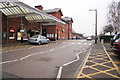
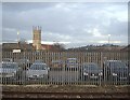
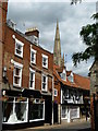
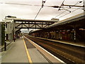
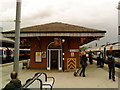
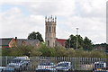
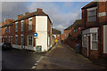
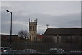
100 photos from this area
Area Information
Key information about the NG31 6QL including its size, population, and administrative classification.
- Area Type
- Postcode
- Area Size
- 7013 m²
- Population
- Not available
- Population Density
- Not available
House Prices in NG31 6QL
63
Properties
£89,863
Average Sold Price
£40,500
Lowest Price
£249,600
Highest Price
Showing 63 properties
| Address | Type | Beds | Baths | Last Sale Price | Last Sale Date | |
|---|---|---|---|---|---|---|
| 21 George Street, Grantham, NG31 6QL | house | 3 | - | £75,000 | Oct 2025 | |
| 50 George Street, Grantham, NG31 6QL | Flat | 2 | 1 | £128,000 | Jun 2024 | |
| 26 George Street, Grantham, NG31 6QL | Terraced | 2 | 1 | £114,000 | Aug 2023 | |
| 6 George Street, Grantham, NG31 6QL | house | - | - | £107,500 | May 2022 | |
| 25 George Street, Grantham, NG31 6QL | Terraced | 2 | 1 | £85,000 | Apr 2022 | |
| 48 George Street, Grantham, NG31 6QL | Terraced | 2 | 1 | £95,000 | Aug 2021 | |
| 41B George Street, Grantham, NG31 6QL | Flat | - | - | £55,000 | Mar 2021 | |
| 42A George Street, Grantham, NG31 6QL | Maisonette | 2 | 1 | £90,000 | Dec 2020 | |
| 16 George Street, Grantham, NG31 6QL | Terraced | 2 | 1 | £107,000 | Dec 2019 | |
| 44 George Street, Grantham, NG31 6QL | house | - | - | £105,000 | Dec 2018 |
Page 1 of 7
Energy Efficiency in NG31 6QL
Amenities
Schools
| Rank | School | Type | Entry gender | Ages |
|---|
Explore more schools in this area
Go to Schools tabDemographics
Household Size
One person
most common
Accommodation Type
Flats
most common
Tenure
38
majority
Ethnic Group
White
most common
Religion
N/A
most common
Household Composition
N/A
most common
Age
47
median
Adults (30-64 years)
most common
Household Deprivation
N/A
with no deprivation
NS-SEC
28
in Lower managerial occupations
Explore more demographic insights in this area
Go to Demographics tabPlanning
Planning Constraints
- Flood RiskPremium
- Ramsar Wetland SitesPremium
- Area of Outstanding Natural BeautyPremium
- Protected Nature ReservePremium
- Protected WoodlandPremium