Area Overview for NG3 6NP
Photos of NG3 6NP
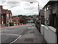
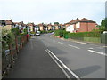
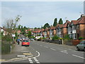
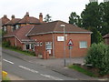
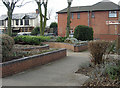
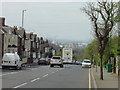
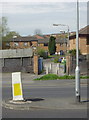
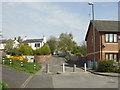
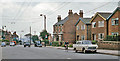
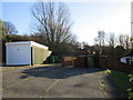
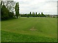
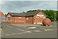
50 photos from this area
Area Information
Key information about the NG3 6NP including its size, population, and administrative classification.
- Area Type
- Postcode
- Area Size
- 2766 m²
- Population
- 1550
- Population Density
- 7928 people/km²
House Prices in NG3 6NP
16
Properties
£89,373
Average Sold Price
£33,950
Lowest Price
£120,000
Highest Price
Showing 16 properties
| Address | Type | Beds | Baths | Last Sale Price | Last Sale Date | |
|---|---|---|---|---|---|---|
| 16 Apple Walk, Carlton, NG3 6NP | Terraced | 3 | 1 | £120,000 | Mar 2023 | |
| 14 Apple Walk, Carlton, NG3 6NP | Detached | 3 | 1 | £115,527 | Nov 2021 | |
| 1 Apple Walk, Carlton, NG3 6NP | Terraced | 3 | 1 | £100,000 | Jan 2021 | |
| 9 Apple Walk, Carlton, NG3 6NP | house | - | - | £107,000 | Nov 2019 | |
| 10 Apple Walk, Carlton, NG3 6NP | Terraced | 3 | 1 | £95,000 | Oct 2019 | |
| 8 Apple Walk, Carlton, NG3 6NP | Terraced | 2 | 1 | £88,000 | Oct 2019 | |
| 6 Apple Walk, Carlton, NG3 6NP | Terraced | 3 | 1 | £100,000 | Jun 2018 | |
| 5 Apple Walk, Carlton, NG3 6NP | Terraced | 3 | 1 | £91,250 | Oct 2017 | |
| 7 Apple Walk, Carlton, NG3 6NP | Semi-detached | 3 | 1 | £90,000 | Nov 2016 | |
| 15 Apple Walk, Carlton, NG3 6NP | house | 3 | - | £85,000 | Aug 2016 |
Page 1 of 2
Energy Efficiency in NG3 6NP
Amenities
Schools
| Rank | School | Type | Entry gender | Ages |
|---|
Explore more schools in this area
Go to Schools tabDemographics
Household Size
Two person
most common
Accommodation Type
Houses
most common
Tenure
61
majority
Ethnic Group
White
most common
Religion
N/A
most common
Household Composition
N/A
most common
Age
47
median
Adults (30-64 years)
most common
Household Deprivation
N/A
with no deprivation
NS-SEC
22
in Lower managerial occupations
Explore more demographic insights in this area
Go to Demographics tabPlanning
Planning Constraints
- Flood RiskPremium
- Ramsar Wetland SitesPremium
- Area of Outstanding Natural BeautyPremium
- Protected Nature ReservePremium
- Protected WoodlandPremium